Արագածոտն՝ «Արագածի ստորոտ», և այստեղ ամեն ինչ չափվում է այս լեռով։ Քառագագաթ հանգած հրաբուխը՝ 4 090 մետր, Հայաստանի ամենաբարձր կետն է. նրա չորս գագաթներն ընդգրկում են հին խառնարանը, իսկ հալվող ձյուներից իջնում են առվակներ, որոնք հավաքվում են Քասախ գետի մեջ։ Որքան բարձրանում ես, այնքան չոր է օդը և այնքան մոտ է երկինքը. զուր չէ, որ հենց այստեղ՝ Բյուրականի լանջին, կառուցել են երկրի գլխավոր աստղադիտարանը։
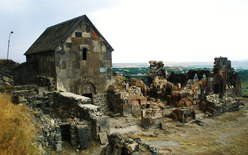
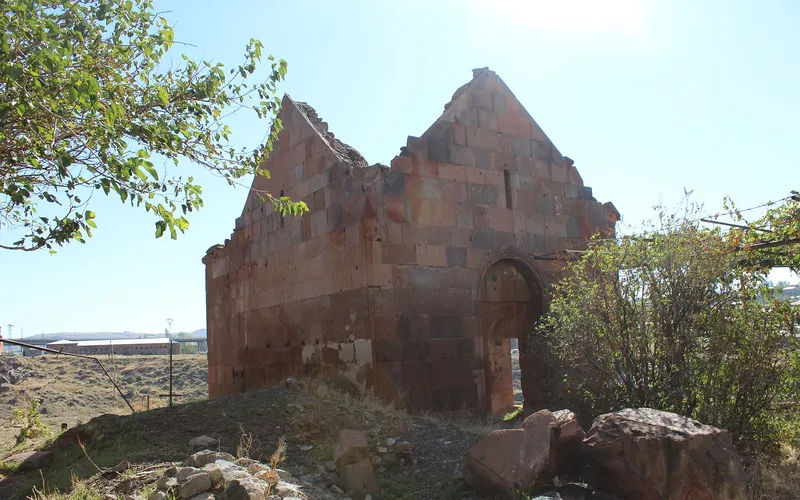
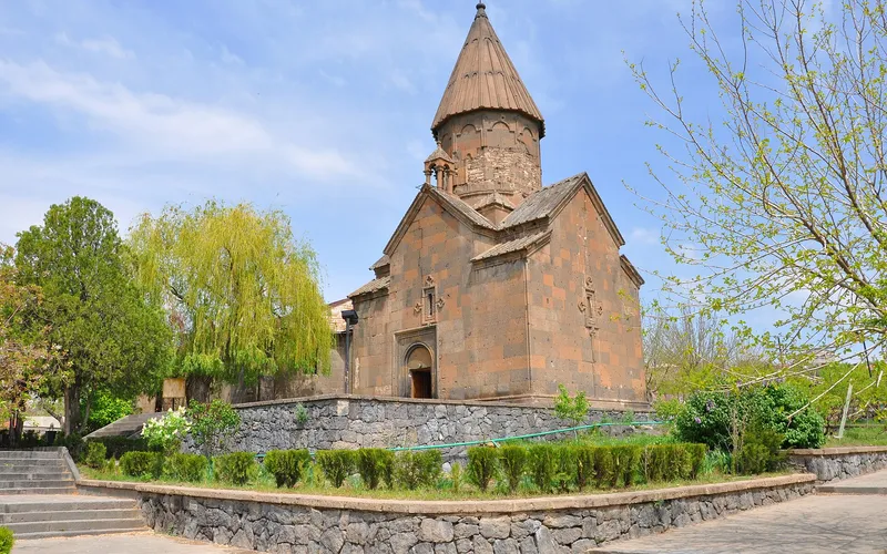
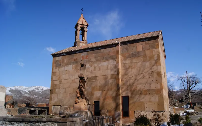
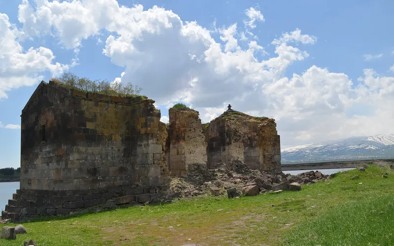
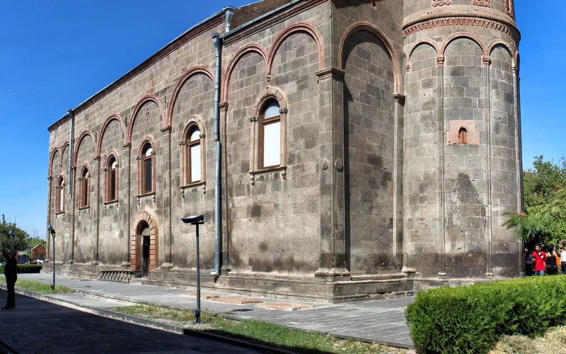
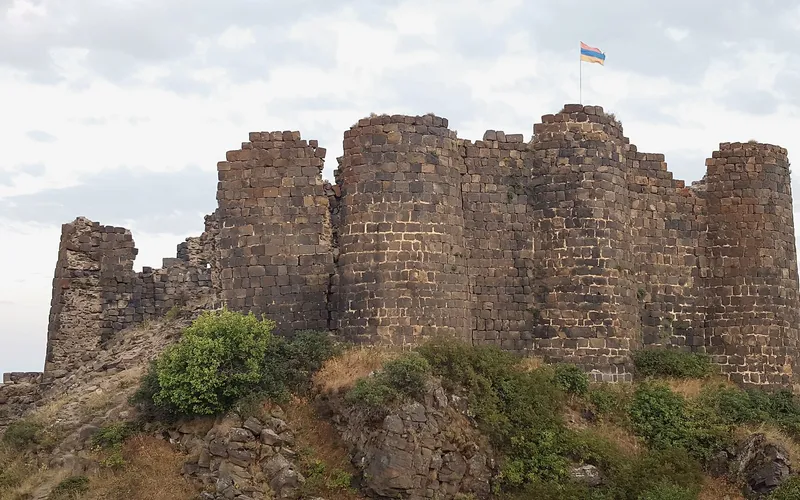
Քասախի կիրճի վրա, հենց ժայռի եզրին, մեկը մյուսի հետևից կանգնած են միջնադարյան վանքերը։ Սաղմոսավանքն ու Հովհաննավանքը՝ XIII դարի երկու քարե պահապաններ, որոնց պատերը կարծես հենց ժայռից են աճում։ Մի փոքր վերև, ալպիական մարգագետինների մեջ, թաքնված է Ամբերդ ամրոցը՝ Վահրամաշեն եկեղեցով (XI դար)՝ վերջին հենակետը դեպի գագաթ տանող ճանապարհին։ Իսկ Օշականում, Մեսրոպ Մաշտոցի շիրիմի մոտ, բարձրանում է հայ այբուբենի հուշարձանը. երեսունինը փորագրված տառեր՝ ցրված կանաչ բլրի վրա։
Մարզի կյանքը հենվում է երեք քաղաքների վրա։ Աշտարակը՝ կիրճի վրա կանգնած մարզկենտրոնը՝ կուզիկ միջնադարյան կամրջով ու խաղողի այգիներով։ Ապարանը՝ հյուսիսում՝ ցուրտ բարձրլեռնային սարահարթ, հանրահայտ հացի հայրենիք։ Թալինը՝ արևմուտքում՝ ցորենի տափաստաններ և VII դարի տաճարի վարդագույն տուֆ։ Նրանց միջև՝ տասնյակ գյուղեր, ուր եզդի քրդերն արածեցնում են անասուններ և ուր ամեն քար հիշում է և Ուրարտուն, և աստղադիտարանի աստղադիտակները։
«Արագածն իր ուսերին պահում է չորս եղանակ միանգամից, և բոլոր չորսը երևում են մեկ արահետից։»
Այս էջում՝ մարզի բնակավայրերը (սեղմելիս՝ եղանակով), գլխավոր հուշարձանները, երթուղիներն ու տարեգրությունը։ Ամբերդ, Բյուրական, Սաղմոսավանք՝ յուրաքանչյուրն իր բարձրությամբ ու իր երկնքով։