Կապան
Սյունիքի լեռնային մայրաքաղաքը
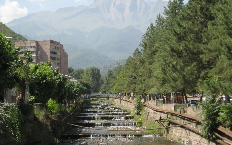
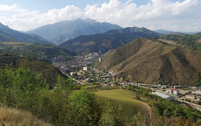
Կապանը Սյունիքի ամենախոշոր քաղաքն է՝ փռված Ողջի գետի հովտում, Խուստուփ լեռան ստորոտին։ Սա Հայաստանի հարավային դարպասն է, որտեղ հանքարդյունաբերական քաղաքը հարևանում է Զանգեզուրի լեռնաշղթայի կանաչ լանջերին։
Ինչ վայր է սա
Կապանը Սյունիքի ամենախոշոր քաղաքն է՝ փռված Ողջի գետի հովտում, Խուստուփ լեռան ստորոտին։ Սա Հայաստանի հարավային դարպասն է, որտեղ հանքարդյունաբերական քաղաքը հարևանում է Զանգեզուրի լեռնաշղթայի կանաչ լանջերին։
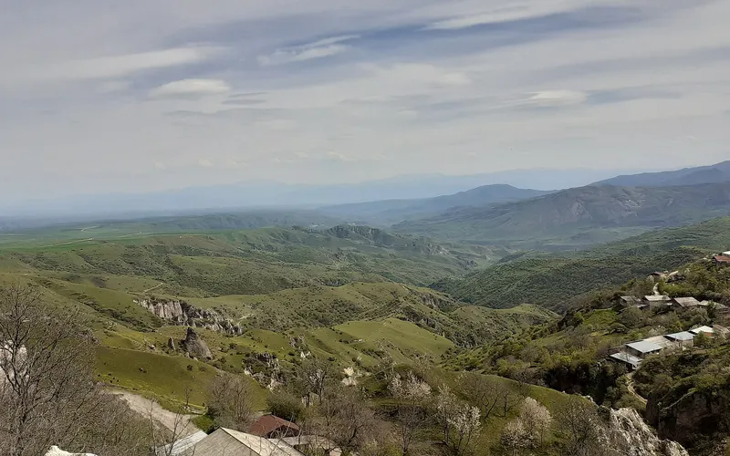
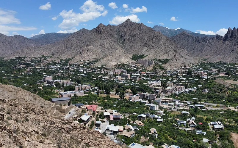
Կապանը ձգվում է Ողջի գետի հովտի երկայնքով՝ մոտ 910 մետր բարձրության վրա, սեղմված Զանգեզուրի լեռնաշղթաների միջև։ Քաղաքից վեր է խոյանում ավելի քան 3200 մետր բարձրությամբ Խուստուփը՝ ձյունածածկ գագաթ, որը երևում է գրեթե ամենուրեք։ Շրջակա լանջերը պատված են խիտ անտառներով, և նույնիսկ շոգ ամռանը այստեղ ավելի զով է, քան դաշտավայրում։
Վայրի պատմությունը հասնում է մինչև V դար, իսկ միջնադարում Կապանը Սյունիքի թագավորության մայրաքաղաքն էր և իր ծաղկման հասավ մոտավորապես XI դարում։ Այս կողմերի հետ է կապված Դավիթ Բեկի անունը, ով XVIII դարի սկզբին շրջակա ամրոցներից գլխավորեց ազատագրական պայքարը։ Այսօր քաղաքն ապրում է հիմնականում հանքարդյունաբերությամբ՝ այստեղ արդյունահանում են պղինձ և այլ մետաղներ։
Ճանապարհորդի համար Կապանը հարմար հենակետ է հարավային Հայաստանով և Սյունիքով ճամփորդելու համար. մոտակայքում են Վահանավանք վանքը և Հալիձորի ամրոցը, իսկ քաղաքն ինքը Երևանից մոտ 316 կմ է լեռնային ճանապարհով։ 2023 թվականից կրկին գործում է «Սյունիք» օդանավակայանը՝ Կապանը մայրաքաղաքին կապելով լեռնաշղթաների վրայով թռիչքներով։
Վայրեր մոտակայքում
Սուրբ Հռիփսիմե եկեղեցի (Գորիս)
Եկեղեցի գեղեցիկ Գորիս քաղաքում՝ նվիրված Հայաստանի ամենասիրված վաղ սրբերից մեկին։
Բացել →
Հարանց անապատ
Մեկուսացված վանական անապատ՝ թաքնված Սյունիքի վայրի լանջերին, ստեղծված մենության և աղոթքի համար.
Բացել →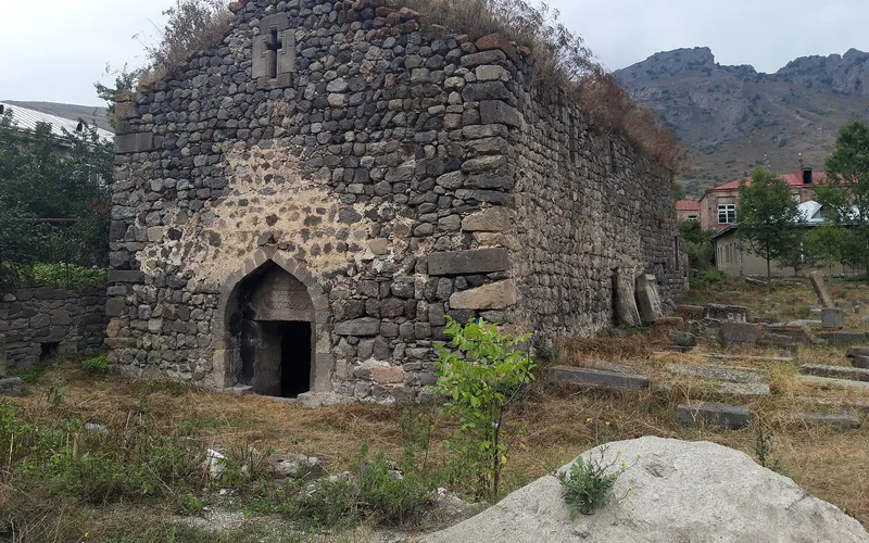
Սուրբ Հռիփսիմե եկեղեցի, Վերիշեն
Հայ առաքելական եկեղեցի Սյունիքի Վերիշեն գյուղում՝ Գորիսի մոտ։
Բացել →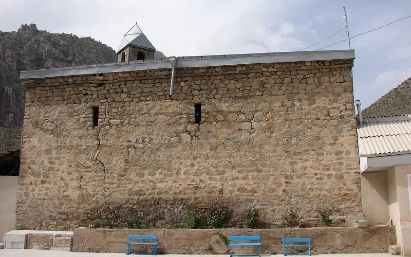
Սուրբ Աստվածածին եկեղեցի, Կարճևան
Պահպանվող քարե եկեղեցի՝ նվիրված Սուրբ Աստվածածնին, հարավային Կարճևան գյուղում։
Բացել →Կանխատեսում Կապան-ի համար
Հիմա, այսօր, վաղը, 5/7/10/14 օրով և ամիս առաջ:
Բնակություն Կապանում
Պատրաստի երթուղիներ Կապան-ով
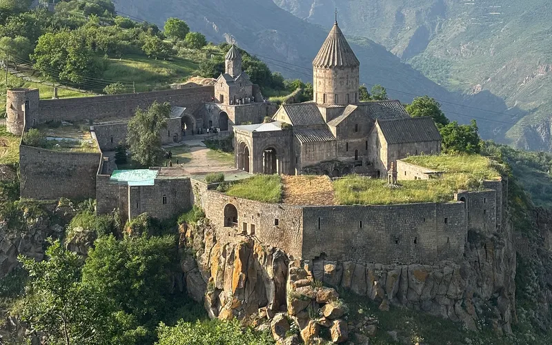
Տաթև + ճոպանուղի
Միօրյա տուր Երևանից Տաթևի վանք՝ աշխարհի ամենաերկար ճոպանուղով ուղևորությամբ։ Ճաշ Խոտում, վանքի շրջայց։
- Աշխարհի ամենաերկար ճոպանուղին
- IX դարի վանք
- Ճաշ լեռնային գյուղում
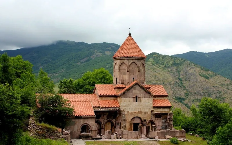
Հարավային Հայաստան
Եռօրյա ճանապարհորդություն Հայաստանի հարավով։ Գիշերակաց Գորիսում, Խնձորեսկի և քարանձավային եկեղեցիների այցելություն։ Երկրի ամենավառ երթուղիներից մեկը։
- Քարանձավային քաղաք Խնձորեսկ
- Քարահունջ — հայկական Սթոունհենջ
- 2 գիշերակաց լեռներում
Խնձորեսկ — քարանձավային քաղաք
Հին Խնձորեսկը՝ երկհարյուրամյա քարանձավային քաղաք գիպսե կիրճում։ Կախովի կամուրջ անդունդի վրա, իջվածք դեպի քարանձավային բնակարաններ, Սուրբ Թադևոս եկեղեցի։
- Կախովի կամուրջ՝ 160 մ
- Քարանձավային եկեղեցիներ
- Հին Գորիս
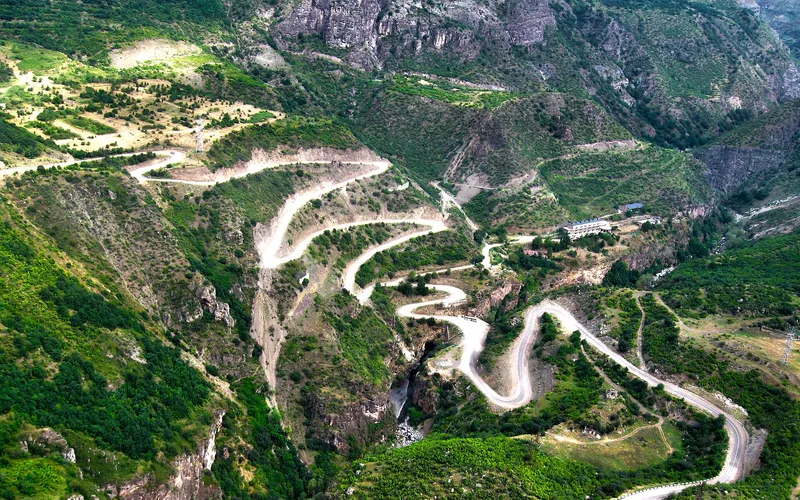
Որոտանի կիրճ — ջիփ-տուր
Ամենագնաց, վարորդ-գիդեր, մուտք սովորական մեքենայով անհասանելի վայրեր՝ Սատանի կար (բնական կամուրջ), Որոտանի կիրճ, ջերմային աղբյուրներ։
- Բնական կամուրջ
- Ջերմային լոգանքներ
- Միայն 4×4-ը կանցնի
Քարե բակ Գորիսում
Երկհարկ տուֆե տուն՝ ներքին բակով։ Տանտիրուհին առավոտները հարիսա է եփում։ Հին Գորիսից և Խնձորեսկի ճանապարհից մեկ քայլ հեռու։
Մինչև Մեղրի
Հինգ օր Արաքս գետի երկայնքով՝ ողջ Սյունիքով մինչև Մեղրի՝ Հայաստանի ամենահարավային կետը։ Նռան այգիներ, վանքեր, ջերմային աղբյուրներ։
- Մեղրիի նռան այգիներ
- Ջերմային աղբյուրներ
- Իրանական սահման