Ձորակապ
Հանգիստ գյուղ Մարալիկի կողքին
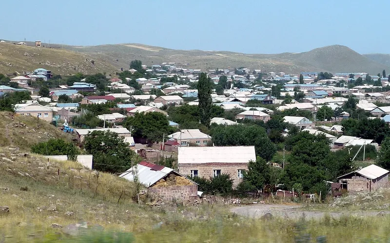
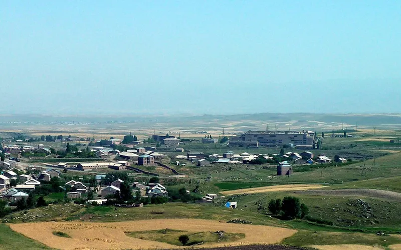
Ձորակապը Հայաստանի Շիրակի մարզի փոքրիկ գյուղ է՝ Անիի համայնքում, Մարալիկ քաղաքի հենց եզրին։ Այն փռված է մոտ 1752 մետր բարձրության վրա՝ Շիրակի սարահարթի դաշտերի ու արոտների մեջ։

Ինչ վայր է սա
Ձորակապը Հայաստանի Շիրակի մարզի փոքրիկ գյուղ է՝ Անիի համայնքում, Մարալիկ քաղաքի հենց եզրին։ Այն փռված է մոտ 1752 մետր բարձրության վրա՝ Շիրակի սարահարթի դաշտերի ու արոտների մեջ։
Ձորակապը հարավից կպած է Մարալիկին և մտնում է Շիրակի մարզի Անիի համայնքի մեջ՝ Հայաստանի հյուսիս-արևմուտքում, Թուրքիայի սահմանի մոտ։ Մինչև 1935 թվականը գյուղը կոչվում էր Բողազքյասան, իսկ ներկայիս «Ձորակապ» անունը կապված է ձորի մոտ տեղադրության հետ։ Այստեղ ապրում է մոտ 948 մարդ, և բնակչության հաշիվը տեղի տարեգրություններում տարվում է դեռ XIX դարից։
Գյուղի կյանքը մնում է հողին կապված. Շիրակի սարահարթի դաշտերում ցանում են հացահատիկ ու անասնակեր, պահում անասուն։ 1752 մետր բարձրությունը դարձնում է կլիման խիստ՝ երկար ու ցուրտ ձմեռ և կարճ, բայց արևառատ ամառ։ Ձորակապի տեսարժան վայրերից են հին Սուրբ Աստվածածին եկեղեցին և միջնադարյան գերեզմանատների հետքերը, որոնք հիշեցնում են, որ Անիի և Մարալիկի շրջակայքը բնակեցված է եղել դարեր առաջ։
Ձորակապը դժվար թե դառնա ճամփորդության առանձին նպատակ, բայց հարմար է ընկած Մարալիկ-Գյումրի ճանապարհի մոտ։ Այստեղից մոտ է Սարնաղբյուր գյուղի կողքի Հոգևանք վանքը և Շիրակի այլ անկյունները, որտեղ հանգիստ գյուղերը, հին տաճարներն ու լայն սարահարթերը միասին գծում են հայկական խորքի անկեղծ, դանդաղ դիմանկարը։
Վայրեր մոտակայքում
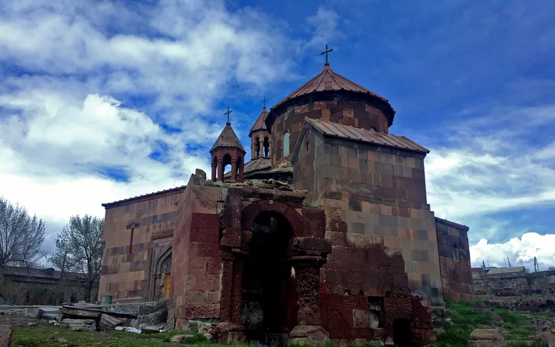
Սուրբ Գրիգոր եկեղեցի Հառիճավանքում
Սուրբ Գրիգոր եկեղեցին Հառիճավանքում՝ Շիրակի մեծ վանքերից մեկում, որտեղ փորագիր տուֆը հանդիպում է լեռնային լռությանը։ Հայաստանի հյուսիսով ճանապարհորդության գոհար։
Բացել →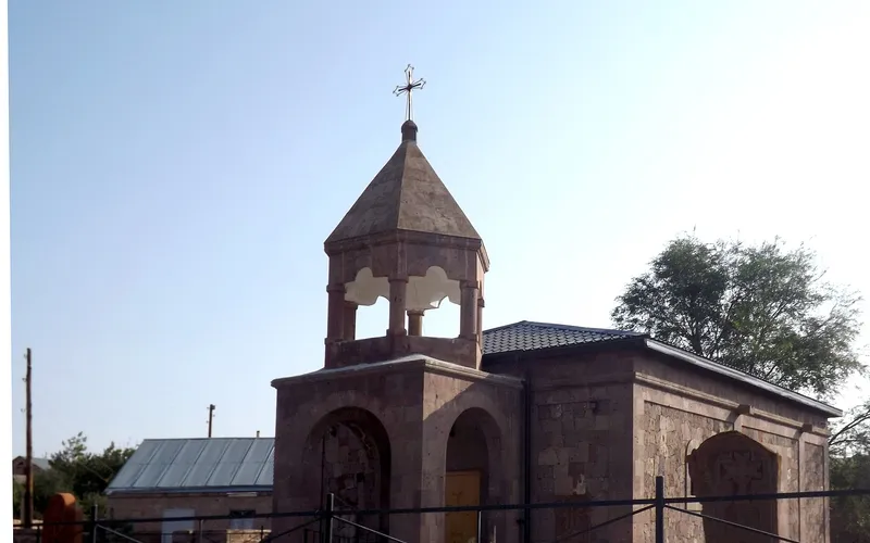
Եկեղեցի Վարդաքարում
Քարե եկեղեցի շիրակյան Վարդաքար գյուղում՝ պահպանվող որպես Հայաստանի մշակութային հուշարձան։ Հանգիստ, քարտեզից դուրս ընկած կանգառ լեռնաշխարհում։
Բացել →
Սուրբ Ամենափրկիչ եկեղեցի, Գյումրի
Վեհաշուք 19-րդ դարի հայկական եկեղեցի Գյումրու կենտրոնական հրապարակում՝ վերականգնված 1988-ի երկրաշարժից հետո և քաղաքի խորհրդանիշ դարձած։
Բացել →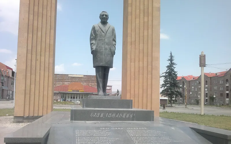
Շառլ Ազնավուրի արձան
Արձան Շիրակում՝ նվիրված Շառլ Ազնավուրին՝ ֆրանս-հայ ձայնին, որ սիրեց ողջ աշխարհը:
Բացել →Կանխատեսում Ձորակապ-ի համար
Հիմա, այսօր, վաղը, 5/7/10/14 օրով և ամիս առաջ: