Առափի
Հին գյուղ Ախուրյանի ափին Գյումրու մոտ
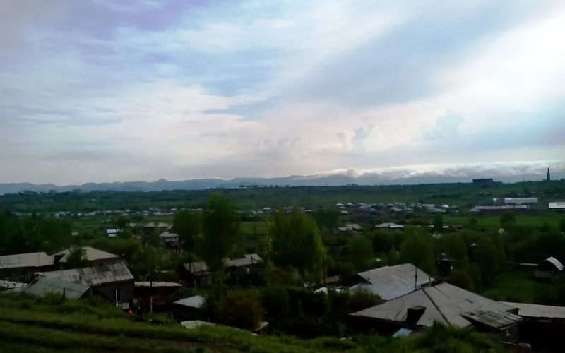
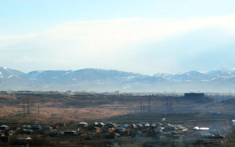
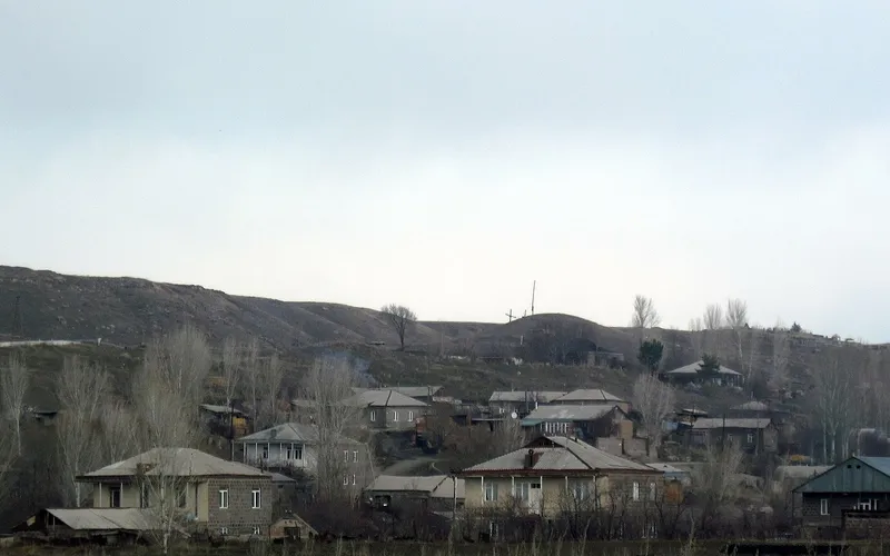
Առափին գյուղ է Շիրակի մարզում՝ Գյումրու արևմտյան եզրին, մոտ 1500 մետր բարձրության վրա, Ախուրյան գետի մերձակայքում։ Այստեղ ապրում է շուրջ 1800 մարդ, իսկ շրջակայքում պահպանվել են այս վայրի շատ հին անցյալի հետքերը։
Ինչ վայր է սա
Առափին գյուղ է Շիրակի մարզում՝ Գյումրու արևմտյան եզրին, մոտ 1500 մետր բարձրության վրա, Ախուրյան գետի մերձակայքում։ Այստեղ ապրում է շուրջ 1800 մարդ, իսկ շրջակայքում պահպանվել են այս վայրի շատ հին անցյալի հետքերը։
Առափին փռված է Շիրակի սարահարթին՝ մարզկենտրոն Գյումրուց ընդամենը մի քանի կիլոմետր արևմուտք։ Սա այս լեռնաշխարհի բնորոշ գյուղ է՝ բաց դաշտեր, բարձր երկինք և կտրուկ ցամաքային կլիմա հազար ու կես մետր բարձրության վրա։ Մինչև 1946 թվականը գյուղը կոչվում էր Օջախղուլի և միայն հետո ստացավ իր ներկայիս հայկական Առափի անունը։
Առափիի շրջակայքը հիշողություն է պահում այստեղ շատ վաղուց ապրած մարդկանց մասին։ Գյուղի հյուսիսային կողմում կա Աստվածածնին նվիրված սրբավայր, հարավ-արևմուտքում հանդիպում են կիկլոպյան շարվածքի հետքեր ու մամոնտի ոսկորներ, իսկ մոտ մեկ կիլոմետր հարավ ընկած է հելլենիստական դարաշրջանի գերեզմանատուն։ Այս ցրված գտածոները միասին գծում են Ախուրյանի ափին բնակության երկար ու անընդհատ գիծ։
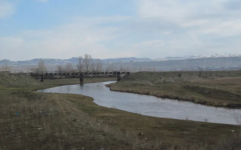
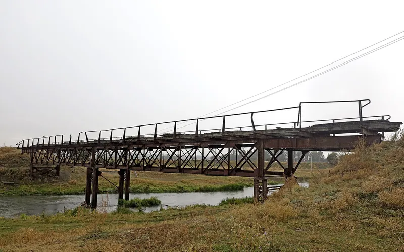
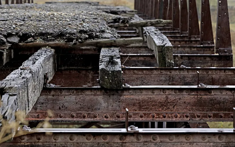
Այսօր Առափին հետաքրքիր է առաջին հերթին որպես հանգիստ կետ Գյումրու կողքին. այստեղից հարմար է դուրս գալ դեպի քաղաք ու նրա եկեղեցիները, իսկ Ախուրյան գետի և հին կամրջի մերձակայքը շրջակայքի զբոսանքին տալիս է հանդարտ, անշտապ բնույթ։ Սա վայր է նրանց համար, ովքեր ուզում են տեսնել շիրակյան գյուղի առօրյան՝ առանց զբոսաշրջային աղմուկի։
Վայրեր մոտակայքում
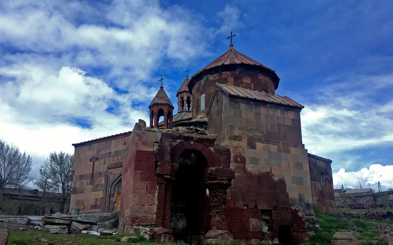
Սուրբ Գրիգոր եկեղեցի Հառիճավանքում
Սուրբ Գրիգոր եկեղեցին Հառիճավանքում՝ Շիրակի մեծ վանքերից մեկում, որտեղ փորագիր տուֆը հանդիպում է լեռնային լռությանը։ Հայաստանի հյուսիսով ճանապարհորդության գոհար։
Բացել →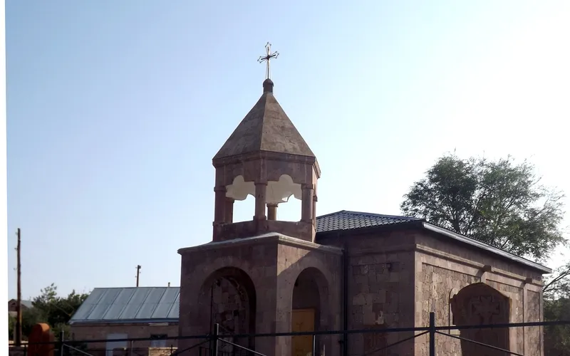
Եկեղեցի Վարդաքարում
Քարե եկեղեցի շիրակյան Վարդաքար գյուղում՝ պահպանվող որպես Հայաստանի մշակութային հուշարձան։ Հանգիստ, քարտեզից դուրս ընկած կանգառ լեռնաշխարհում։
Բացել →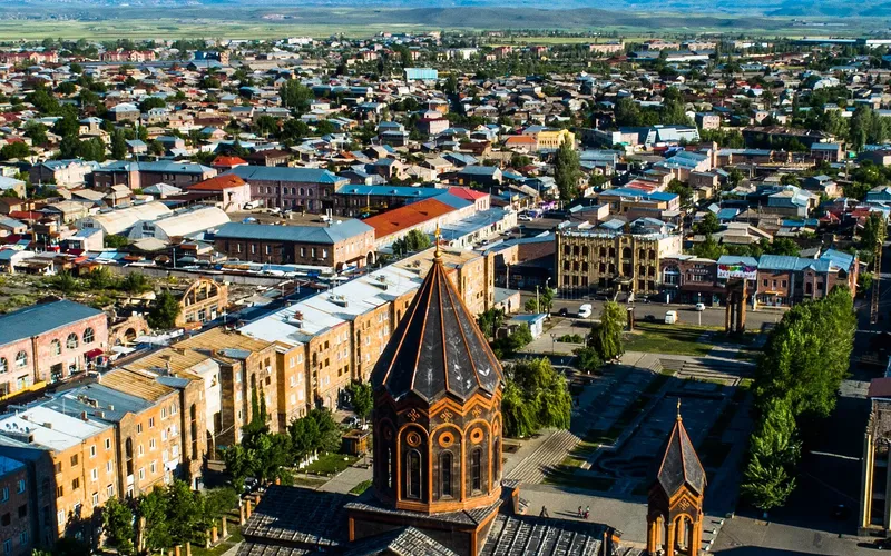
Սուրբ Ամենափրկիչ եկեղեցի, Գյումրի
Վեհաշուք 19-րդ դարի հայկական եկեղեցի Գյումրու կենտրոնական հրապարակում՝ վերականգնված 1988-ի երկրաշարժից հետո և քաղաքի խորհրդանիշ դարձած։
Բացել →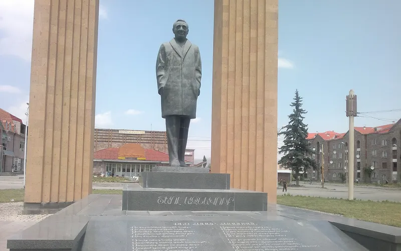
Շառլ Ազնավուրի արձան
Արձան Շիրակում՝ նվիրված Շառլ Ազնավուրին՝ ֆրանս-հայ ձայնին, որ սիրեց ողջ աշխարհը:
Բացել →Կանխատեսում Առափի-ի համար
Հիմա, այսօր, վաղը, 5/7/10/14 օրով և ամիս առաջ: