Արևշատ
Հանգիստ գյուղ Մանթաշ գետի ափին
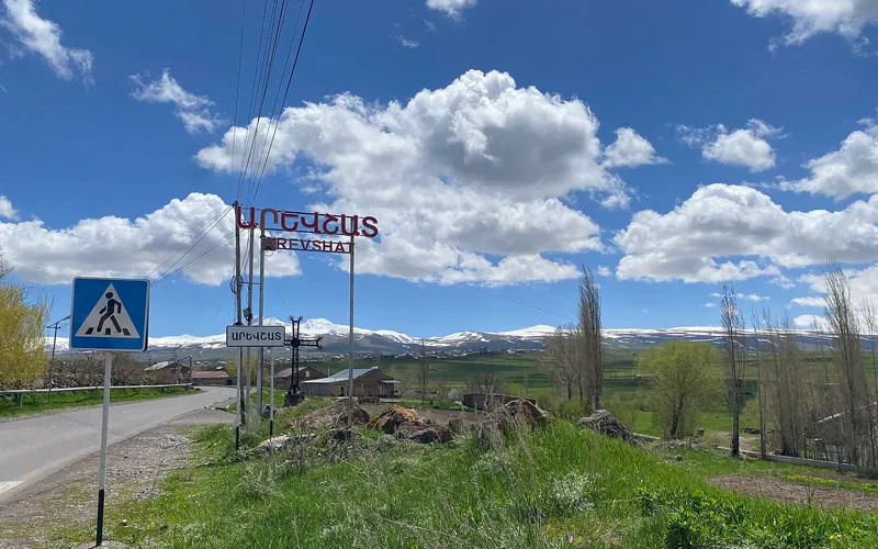
Արևշատը փոքր գյուղ է Շիրակի մարզում, Արթիկի տարածքում՝ Մանթաշ գետի ափին։ Այն գտնվում է Գյումրիից մոտ 23 կիլոմետր հարավ-արևելք, շուրջ 1900 մետր բարձրության վրա։
Ինչ վայր է սա
Արևշատը փոքր գյուղ է Շիրակի մարզում, Արթիկի տարածքում՝ Մանթաշ գետի ափին։ Այն գտնվում է Գյումրիից մոտ 23 կիլոմետր հարավ-արևելք, շուրջ 1900 մետր բարձրության վրա։
Արևշատը փռված է Հայաստանի հյուսիսում՝ Շիրակի ընդարձակ դաշտերի եզրին։ Բնակիչների նախնիները գաղթել են 1828–1830 թվականներին՝ Կարսի մերձակա Բվիկ ու Ջամուշլու գյուղերից, ինչպես նաև Սարիղամիշից ու Կարինից։ Այդ ժամանակից ի վեր գյուղի կյանքը հենվում է հողի վրա՝ բնակիչները զբաղվում են դաշտավարությամբ ու անասնապահությամբ, իսկ ավելի վաղ մշակում էին ծխախոտ և ճակնդեղ։
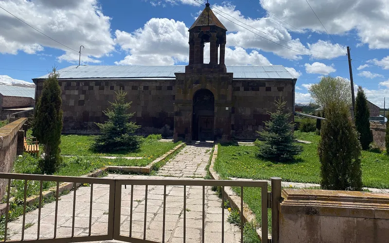
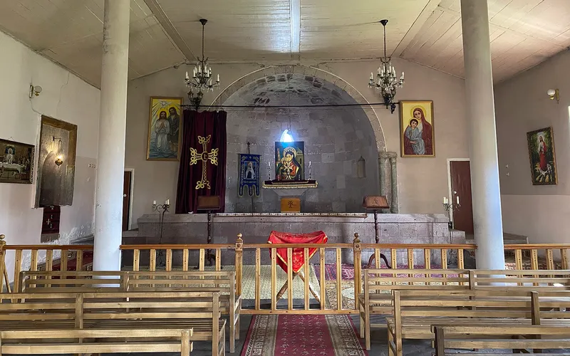
Արևշատի գլխավոր հուշարձանը XIV–XV դարերի եկեղեցին է՝ 1873 թվականին վերանորոգված. մոտակայքում պահպանվել են «Կարմիր Ավետարան», «Սոլոյենց սուրբ» և «Մարինեենց սուրբ» մատուռները։ Այսօր գյուղում ապրում է շուրջ 1917 մարդ, և այստեղ արժե այցելել՝ վայելելու լռությունը, Շիրակի սարահարթի տեսարանները և Կարսից եկած գաղթականներին հիշող հին քարը։
Վայրեր մոտակայքում
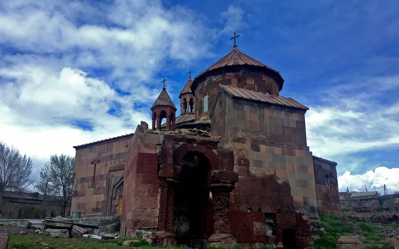
Սուրբ Գրիգոր եկեղեցի Հառիճավանքում
Սուրբ Գրիգոր եկեղեցին Հառիճավանքում՝ Շիրակի մեծ վանքերից մեկում, որտեղ փորագիր տուֆը հանդիպում է լեռնային լռությանը։ Հայաստանի հյուսիսով ճանապարհորդության գոհար։
Բացել →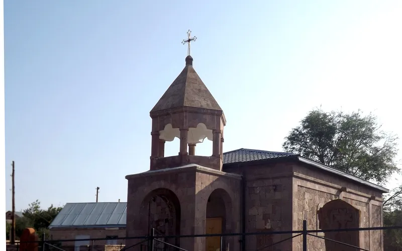
Եկեղեցի Վարդաքարում
Քարե եկեղեցի շիրակյան Վարդաքար գյուղում՝ պահպանվող որպես Հայաստանի մշակութային հուշարձան։ Հանգիստ, քարտեզից դուրս ընկած կանգառ լեռնաշխարհում։
Բացել →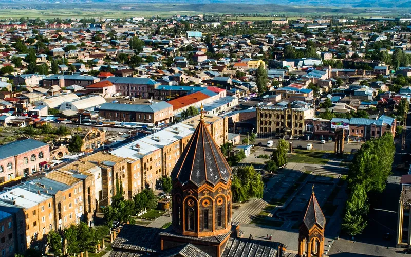
Սուրբ Ամենափրկիչ եկեղեցի, Գյումրի
Վեհաշուք 19-րդ դարի հայկական եկեղեցի Գյումրու կենտրոնական հրապարակում՝ վերականգնված 1988-ի երկրաշարժից հետո և քաղաքի խորհրդանիշ դարձած։
Բացել →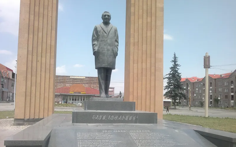
Շառլ Ազնավուրի արձան
Արձան Շիրակում՝ նվիրված Շառլ Ազնավուրին՝ ֆրանս-հայ ձայնին, որ սիրեց ողջ աշխարհը:
Բացել →Կանխատեսում Արևշատ-ի համար
Հիմա, այսօր, վաղը, 5/7/10/14 օրով և ամիս առաջ:
Բնակություն Արևշատում
Պատրաստի երթուղիներ Արևշատ-ով
Բազմօրյա ուղեկցում հարավով (3 օր)
Մեքենա վարորդով 3 օրով՝ ամբողջական շրջան հարավով՝ ճկուն ժամանակացույցով։ Բենզինը և վարորդի կացությունը ներառված են, ձեր գիշերակացերը՝ ոչ։
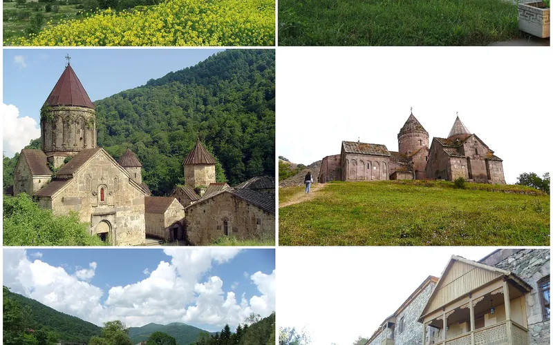
Երևան → Դիլիջան
Սևանով և թունելով դեպի Տավուշի մարզ։ Ճանապարհին՝ դիտակետ լճի վրա, այց Սևանավանք՝ ըստ պահանջի։
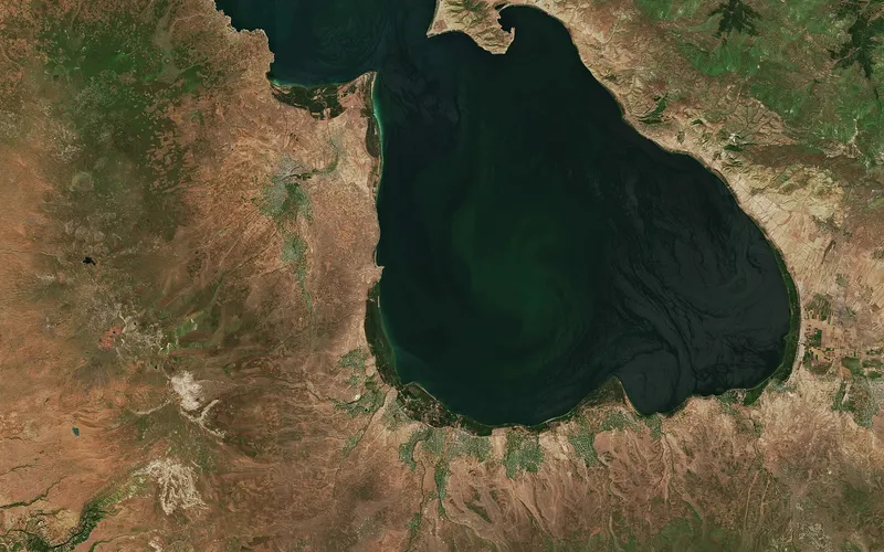
Երևան → Սևանա լիճ
M-4 ճանապարհը Հրազդանի լեռնանցքով։ Հնարավոր է դիտակետեր այցով։ Սպասում Սևանավանքի մոտ՝ 2 ժամ ներառված։