Արավետ
Ամայացած գյուղ Շիրակի լեռներում
Արավետը Հայաստանի հյուսիս-արևմուտքում՝ Շիրակի մարզում գտնվող ամայացած գյուղ է՝ ծովի մակարդակից մոտ 1990 մետր բարձրության վրա։ Այսօր այստեղ մշտական բնակչություն չկա։
Ինչ վայր է սա
Արավետը Հայաստանի հյուսիս-արևմուտքում՝ Շիրակի մարզում գտնվող ամայացած գյուղ է՝ ծովի մակարդակից մոտ 1990 մետր բարձրության վրա։ Այսօր այստեղ մշտական բնակչություն չկա։
Արավետը գտնվում է Շիրակի մարզի լեռնային հատվածում՝ նախկին Ամասիայի շրջանի տարածքում, որը վերացվել է 1995 թվականին։ Շուրջ 1990 մետր բարձրությունն ու բարձրլեռնային խիստ կլիման պայմանավորել են գյուղի ողջ կենցաղը՝ կարճ ամառ, երկար ու ձյունառատ ձմեռ և ընդարձակ արոտավայրեր շրջակայքում։
Նախկինում գյուղը կրել է թյուրքական Իլանլի և Չայբասար անունները՝ որպես Շիրակի այս անկյունի խայտաբղետ էթնիկ անցյալի հիշողություն։ XX դարի ընթացքում Արավետը մերթ աճել է, մերթ դատարկվել. 1970-ականների վերջին այստեղ ապրում էր ավելի քան հինգ հարյուր մարդ, սակայն 2011 թվականին մշտական բնակիչներ այլևս չմնացին։ Այսպես Արավետը համալրեց Շիրակի ամայացած լեռնային գյուղերի շարքը։
Այսօր Արավետը հայկական բարձրլեռնային քարտեզի լուռ կետ է՝ ավելի շատ Շիրակյան սարահարթի անմարդաբնակ բնությունն ու քամոտ տարածքները սիրողների, քան սովորական զբոսաշրջության համար։ Պահպանված շինությունների մասին հավաստի տեղեկություններն սակավ են, ուստի այստեղ արժե գալ՝ նախապես գիտակցելով, որ սա ամայացած գյուղ է։
Վայրեր մոտակայքում
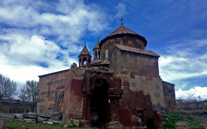
Սուրբ Գրիգոր եկեղեցի Հառիճավանքում
Սուրբ Գրիգոր եկեղեցին Հառիճավանքում՝ Շիրակի մեծ վանքերից մեկում, որտեղ փորագիր տուֆը հանդիպում է լեռնային լռությանը։ Հայաստանի հյուսիսով ճանապարհորդության գոհար։
Բացել →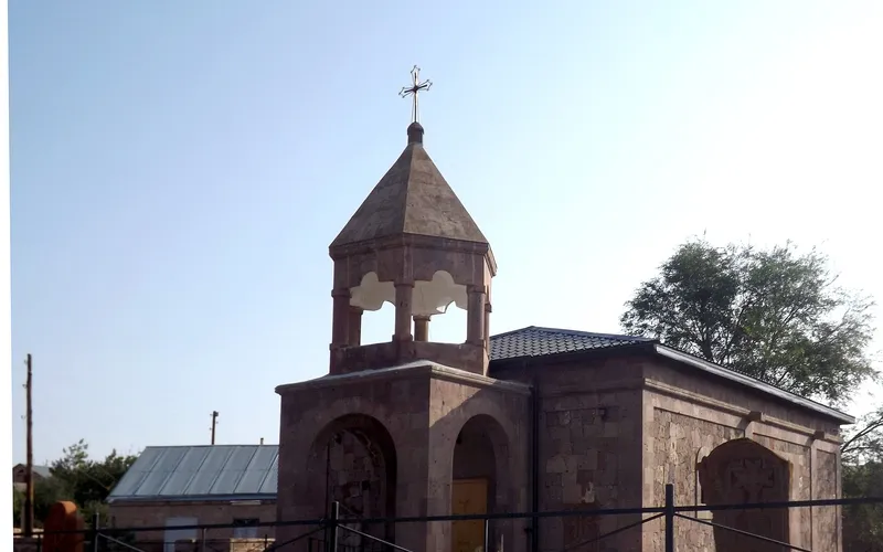
Եկեղեցի Վարդաքարում
Քարե եկեղեցի շիրակյան Վարդաքար գյուղում՝ պահպանվող որպես Հայաստանի մշակութային հուշարձան։ Հանգիստ, քարտեզից դուրս ընկած կանգառ լեռնաշխարհում։
Բացել →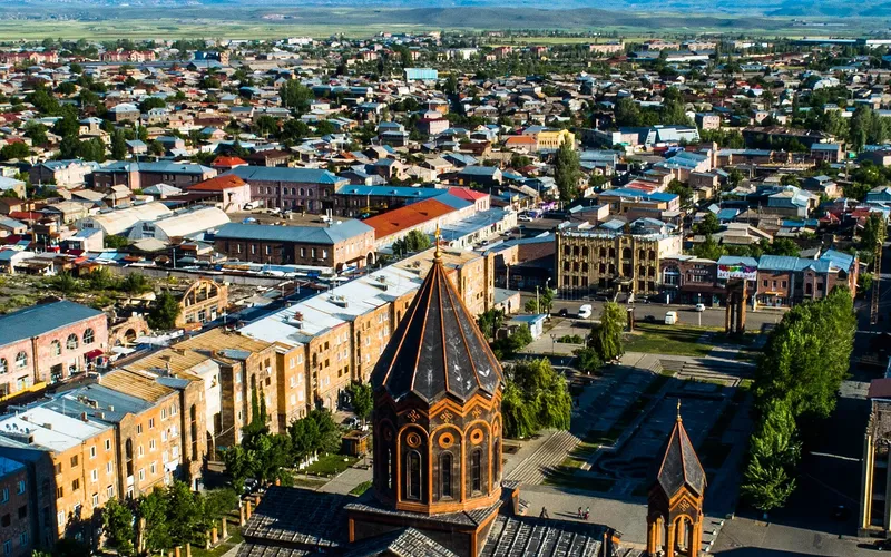
Սուրբ Ամենափրկիչ եկեղեցի, Գյումրի
Վեհաշուք 19-րդ դարի հայկական եկեղեցի Գյումրու կենտրոնական հրապարակում՝ վերականգնված 1988-ի երկրաշարժից հետո և քաղաքի խորհրդանիշ դարձած։
Բացել →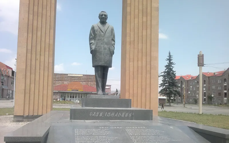
Շառլ Ազնավուրի արձան
Արձան Շիրակում՝ նվիրված Շառլ Ազնավուրին՝ ֆրանս-հայ ձայնին, որ սիրեց ողջ աշխարհը:
Բացել →Կանխատեսում Արավետ-ի համար
Հիմա, այսօր, վաղը, 5/7/10/14 օրով և ամիս առաջ: