Ախուրյան
Մեծ գյուղ Գյումրիի դարպասների մոտ
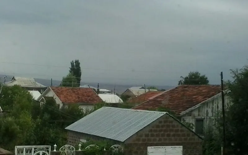
Ախուրյանը Հայաստանի Շիրակի մարզի խոշոր գյուղ է՝ տարածված Շիրակի սարահարթին՝ մոտ 1500 մետր բարձրության վրա, գրեթե Գյումրիի շեմին։ Ժամանակին այն կոչվում էր Դուզքենդ և երկար տարիներ եղել է Ախուրյանի շրջանի կենտրոնը։
Ինչ վայր է սա
Ախուրյանը Հայաստանի Շիրակի մարզի խոշոր գյուղ է՝ տարածված Շիրակի սարահարթին՝ մոտ 1500 մետր բարձրության վրա, գրեթե Գյումրիի շեմին։ Ժամանակին այն կոչվում էր Դուզքենդ և երկար տարիներ եղել է Ախուրյանի շրջանի կենտրոնը։
Ախուրյանը փռված է Շիրակի սարահարթին՝ Գյումրիից ընդամենը մի քանի կիլոմետր հյուսիս, և կրում է նույն անունը, ինչ սահմանային Ախուրյան գետը՝ Արաքսի ձախ վտակը, որով անցնում է Հայաստանի ու Թուրքիայի սահմանը։ Մինչև 1945 թվականը գյուղը կոչվում էր Դուզքենդ, իսկ խորհրդային տասնամյակներին եղել է համանուն Ախուրյանի շրջանի վարչական կենտրոնը՝ ինչը մինչ օրս զգացվում է նրա մեծությամբ ու բարեկարգությամբ։
Այսօրվա բնակիչների արմատները գնում են դեպի Արևմտյան Հայաստան․ ընտանիքների մեծ մասի նախնիները այստեղ են տեղափոխվել 1828–1829 թվականներին՝ Բասենից, Կարսից, Սեբաստիայից և Ալաշկերտից։ Կենցաղն այստեղ դեռ հենվում է հողի վրա՝ անասնապահության ու երկրագործության, իսկ Շիրակի բարձր ու զով սարահարթը ողջ կյանքին հաղորդում է իր հանդարտ, քամիներին բաց ռիթմը։
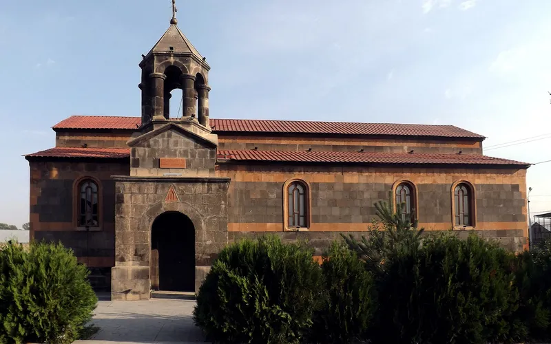
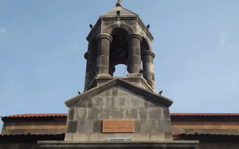
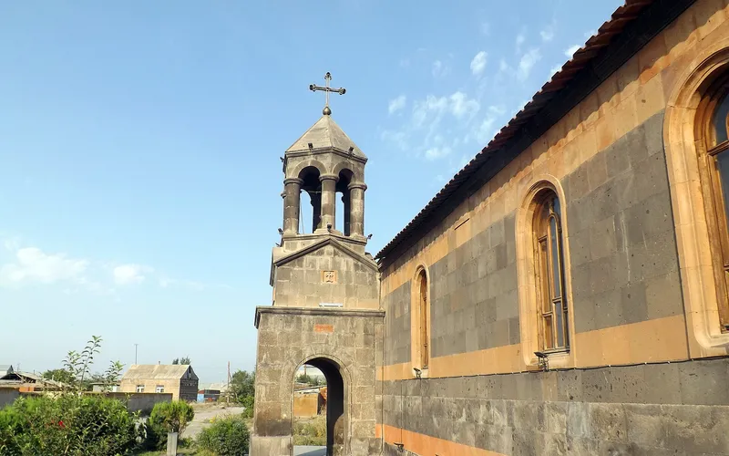
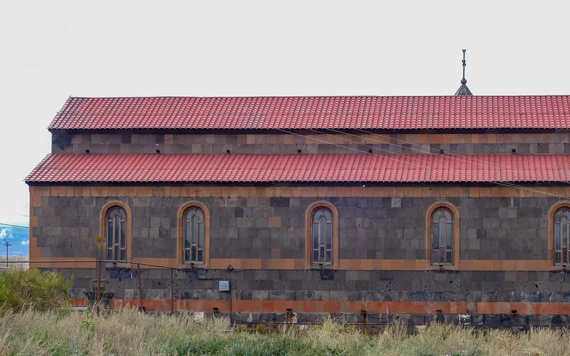
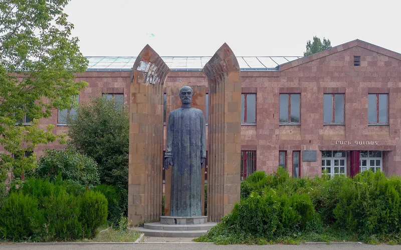
Ճանապարհորդի համար Ախուրյանը հարմար ու հանգիստ մեկնակետ է հյուսիսային Հայաստանով շրջելու համար․ կողքին Գյումրին է՝ սև ու կարմիր տուֆի իր թաղամասերով, իսկ թուրքական սահմանն ուղիղ գծով ընդամենը մոտ տասնվեց կիլոմետր է։ Հենց գյուղում ուշադրություն են գրավում գյուղական եկեղեցին ու Կոմիտասի հուշարձանը՝ հանդարտ ուղենիշներ Շիրակի ընդարձակ բացատների մեջ։
Վայրեր մոտակայքում
Սուրբ Գրիգոր եկեղեցի Հառիճավանքում
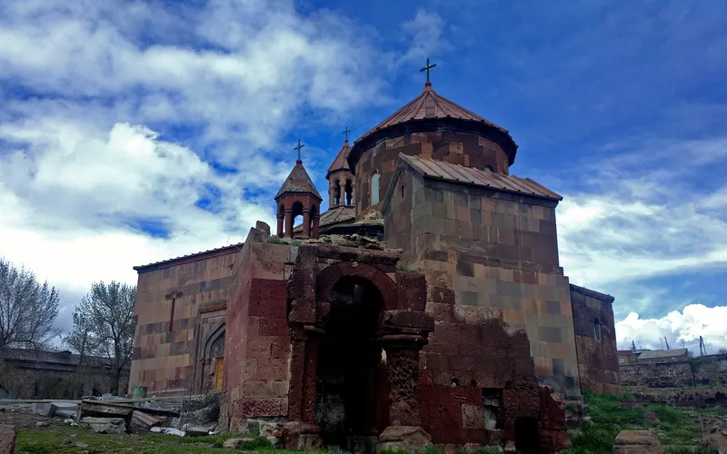
Սուրբ Գրիգոր եկեղեցին Հառիճավանքում՝ Շիրակի մեծ վանքերից մեկում, որտեղ փորագիր տուֆը հանդիպում է լեռնային լռությանը։ Հայաստանի հյուսիսով ճանապարհորդության գոհար։
Բացել →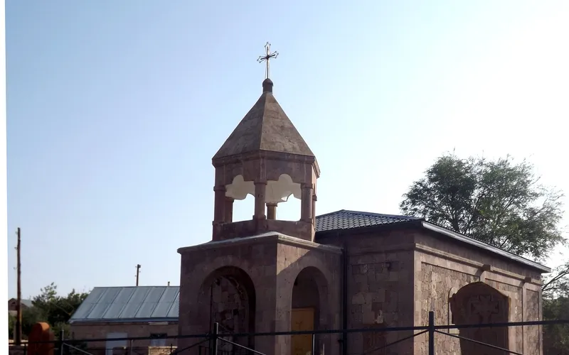
Եկեղեցի Վարդաքարում
Քարե եկեղեցի շիրակյան Վարդաքար գյուղում՝ պահպանվող որպես Հայաստանի մշակութային հուշարձան։ Հանգիստ, քարտեզից դուրս ընկած կանգառ լեռնաշխարհում։
Բացել →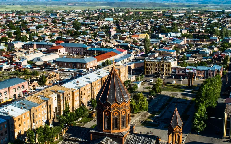
Սուրբ Ամենափրկիչ եկեղեցի, Գյումրի
Վեհաշուք 19-րդ դարի հայկական եկեղեցի Գյումրու կենտրոնական հրապարակում՝ վերականգնված 1988-ի երկրաշարժից հետո և քաղաքի խորհրդանիշ դարձած։
Բացել →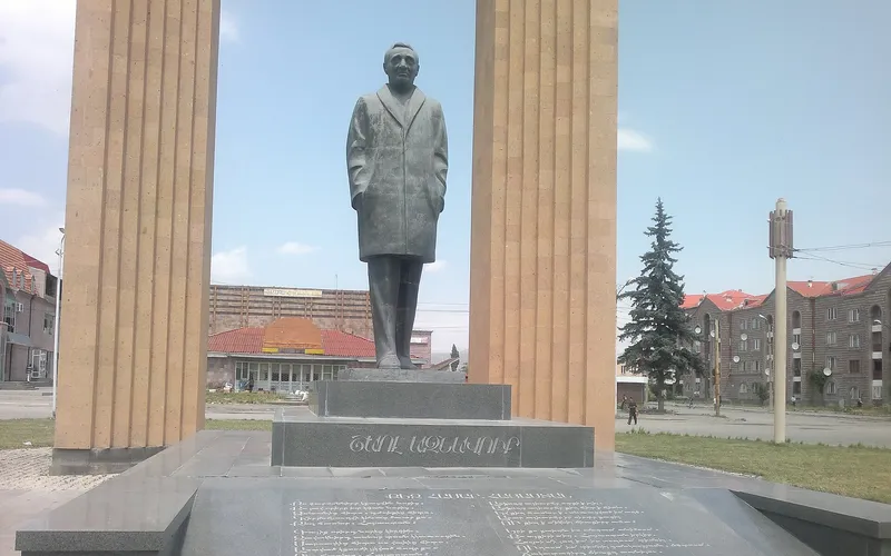
Շառլ Ազնավուրի արձան
Արձան Շիրակում՝ նվիրված Շառլ Ազնավուրին՝ ֆրանս-հայ ձայնին, որ սիրեց ողջ աշխարհը:
Բացել →Կանխատեսում Ախուրյան-ի համար
Հիմա, այսօր, վաղը, 5/7/10/14 օրով և ամիս առաջ: