Աղքիլիսա
Հանգիստ կետ Շիրակի քարտեզին
Աղքիլիսան փոքր բնակավայր է Հայաստանի հյուսիս-արևմուտքում՝ Շիրակի մարզում, մոտ 1629 մետր ծովի մակերևույթից բարձրության վրա։ Գյուղի անունն ինքնին նշանակում է «սպիտակ եկեղեցի»՝ հին տեղանուն, որից շատ կա հայկական լեռնաշխարհում։
Ինչ վայր է սա
Աղքիլիսան փոքր բնակավայր է Հայաստանի հյուսիս-արևմուտքում՝ Շիրակի մարզում, մոտ 1629 մետր ծովի մակերևույթից բարձրության վրա։ Գյուղի անունն ինքնին նշանակում է «սպիտակ եկեղեցի»՝ հին տեղանուն, որից շատ կա հայկական լեռնաշխարհում։
Աղքիլիսան գտնվում է Շիրակի մարզի լեռնաշխարհում, շուրջ 1629 մետր բարձրության վրա։ Այս բարձրությունը թելադրում է կյանքի ռիթմը՝ զով ամառ, երկար ու ձյունառատ ձմեռ և եղանակի կտրուկ փոփոխություններ, որոնք բնորոշ են լեռնային Հայաստանին։ Բնակչության թիվը Աղքիլիսայի համար մեր տվյալներում նշված չէ։
Աղքիլիսա անունը (հայ. Աղքիլիսա) նշանակում է «սպիտակ եկեղեցի»՝ մոտիվ, որը կրկնվում է Հայաստանի շատ անկյուններում և սովորաբար ակնարկում է հին տաճարի մասին, որը անուն է տվել վայրին։ Հենց գյուղի մասին վստահելի աղբյուրներում գրեթե տեղեկություն չի պահպանվել, և մենք միտումնավոր ոչ մի լեգենդ, ամսաթիվ կամ տեսարժան վայր չենք հորինում։ Եթե ձեր ճանապարհն անցնում է Շիրակի այս բնակավայրով, ընդունեք այն որպես հանգիստ կետ հայկական լեռնաշխարհում, իսկ եղանակի համար այցելեք գյուղի կոորդինատներով մեր կանխատեսման էջը։
Վայրեր մոտակայքում
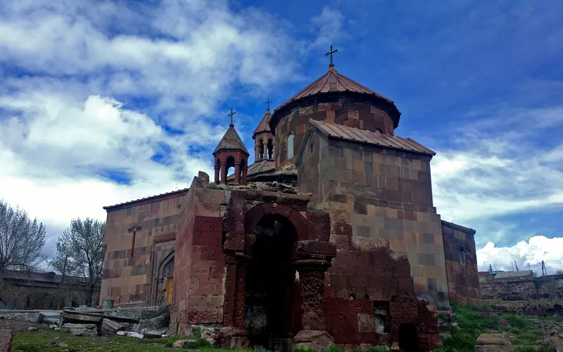
Սուրբ Գրիգոր եկեղեցի Հառիճավանքում
Սուրբ Գրիգոր եկեղեցին Հառիճավանքում՝ Շիրակի մեծ վանքերից մեկում, որտեղ փորագիր տուֆը հանդիպում է լեռնային լռությանը։ Հայաստանի հյուսիսով ճանապարհորդության գոհար։
Բացել →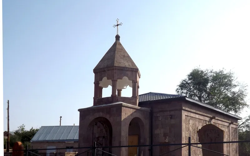
Եկեղեցի Վարդաքարում
Քարե եկեղեցի շիրակյան Վարդաքար գյուղում՝ պահպանվող որպես Հայաստանի մշակութային հուշարձան։ Հանգիստ, քարտեզից դուրս ընկած կանգառ լեռնաշխարհում։
Բացել →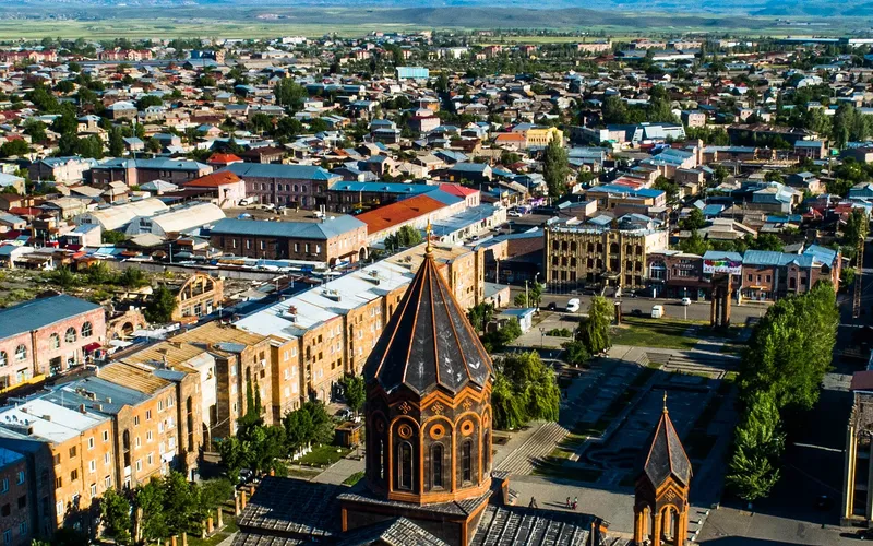
Սուրբ Ամենափրկիչ եկեղեցի, Գյումրի
Վեհաշուք 19-րդ դարի հայկական եկեղեցի Գյումրու կենտրոնական հրապարակում՝ վերականգնված 1988-ի երկրաշարժից հետո և քաղաքի խորհրդանիշ դարձած։
Բացել →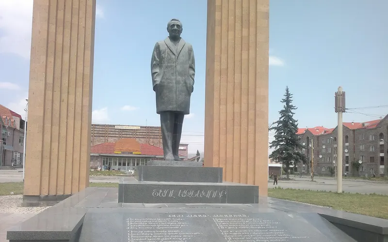
Շառլ Ազնավուրի արձան
Արձան Շիրակում՝ նվիրված Շառլ Ազնավուրին՝ ֆրանս-հայ ձայնին, որ սիրեց ողջ աշխարհը:
Բացել →Կանխատեսում Աղքիլիսա-ի համար
Հիմա, այսօր, վաղը, 5/7/10/14 օրով և ամիս առաջ: