Աղին
Հանգիստ գյուղ Ախուրյանի մոտ
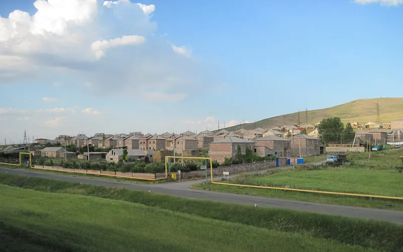
Աղինը Հայաստանի Շիրակ մարզի արևմուտքի փոքր գյուղ է՝ Ախուրյան գետի մոտ լեռնային վայրում։ Այսօր այստեղ ապրում է մոտ 382 մարդ՝ շուրջ 1470 մետր բարձրության վրա։
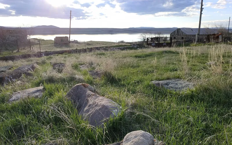
Ինչ վայր է սա
Աղինը Հայաստանի Շիրակ մարզի արևմուտքի փոքր գյուղ է՝ Ախուրյան գետի մոտ լեռնային վայրում։ Այսօր այստեղ ապրում է մոտ 382 մարդ՝ շուրջ 1470 մետր բարձրության վրա։
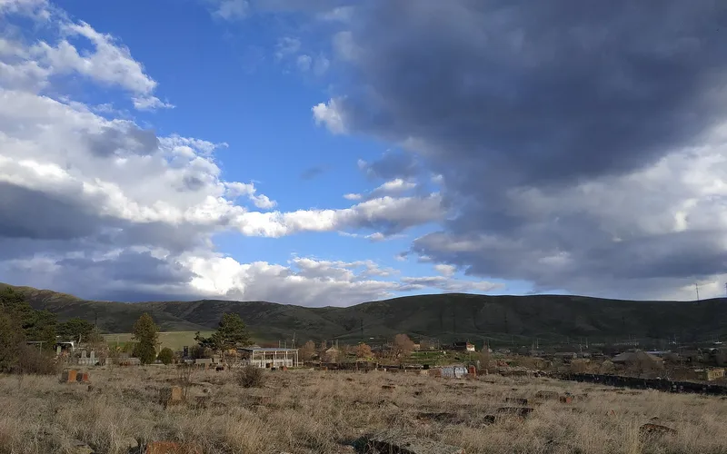
Աղինը գտնվում է Շիրակի արևմտյան եզրին՝ մարզկենտրոնից մի քանի տասնյակ կիլոմետր հեռու, Ախուրյանին մերձ զով բարձրավանդակում։ Կլիման այստեղ խստաշունչ է ու խոնավ, ձմեռները՝ երկար, իսկ 1470 մետր բարձրությունը զգացվում է մաքուր լեռնային օդում։ Գյուղը կազմավորվել է XIX դարի երկրորդ կեսին. այն բնակեցրել են Մշից, Ալաշկերտից, Բասենից, ապա և Կարսից եկած վերաբնակները՝ բերելով իրենց բարբառն ու սովորույթները։
Գյումրի — Երևան երկաթուղու անցկացմամբ գյուղն ունեցավ իր կայարանը 1920-ականներին, իսկ Ախուրյանի ջրամբարի կառուցումից հետո բնակիչների մի մասը տեղափոխվեց նոր հատվածներ, և բնակավայրը բաժանվեց մի քանի մասի։ Աղինի տնտեսությունը հենվում է բարձրավանդակին բնորոշ զբաղմունքների վրա՝ անասնապահություն, մեղվաբուծություն և հացահատիկի մշակում։
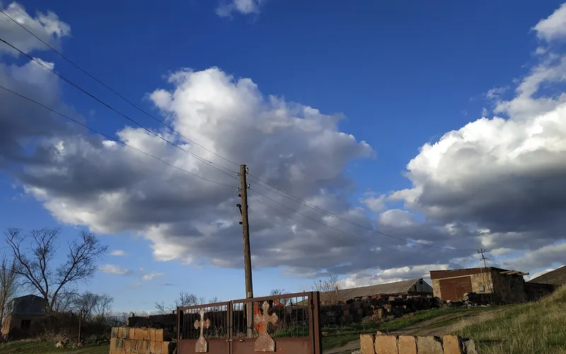
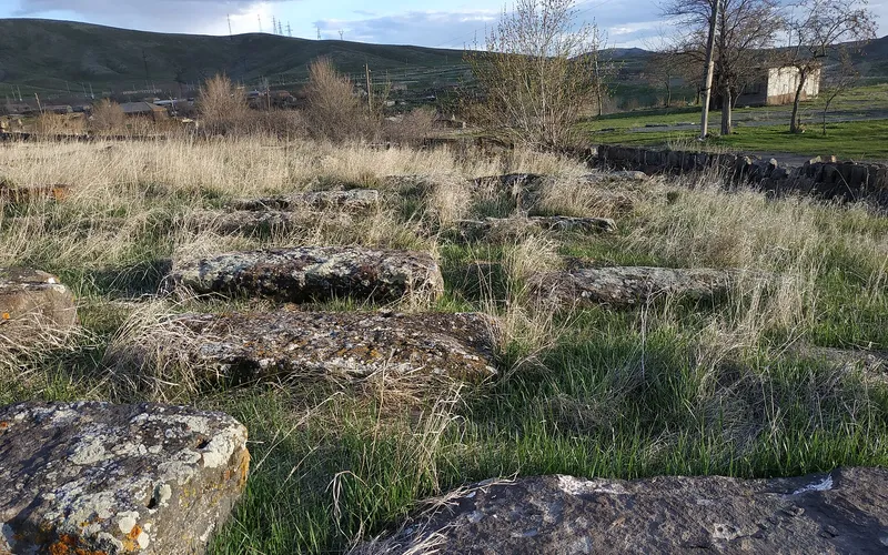
Ճանապարհորդի համար գլխավոր տեսարժան վայրը հին գյուղական գերեզմանատունն է՝ քանդակազարդ տապանաքարերով, որտեղ քարը պահպանում է ոչ մեկ սերնդի հիշողությունը։ Աղինում պահպանվել են նաև եկեղեցիներ, այդ թվում՝ Սուրբ Հակոբ տաճարը, և փոքրիկ մատուռ. այս ամենն Ախուրյանի երկայնքով անցնողի համար կարճ կանգառը դարձնում է իսկապես ջերմ։
Վայրեր մոտակայքում
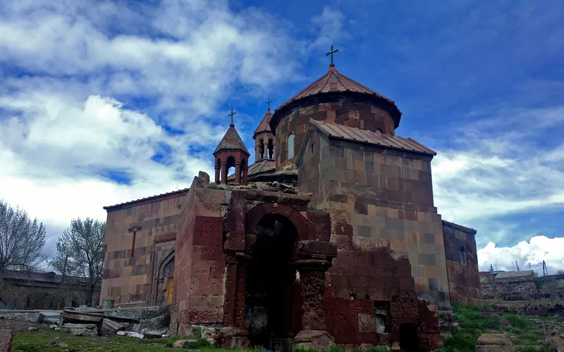
Սուրբ Գրիգոր եկեղեցի Հառիճավանքում
Սուրբ Գրիգոր եկեղեցին Հառիճավանքում՝ Շիրակի մեծ վանքերից մեկում, որտեղ փորագիր տուֆը հանդիպում է լեռնային լռությանը։ Հայաստանի հյուսիսով ճանապարհորդության գոհար։
Բացել →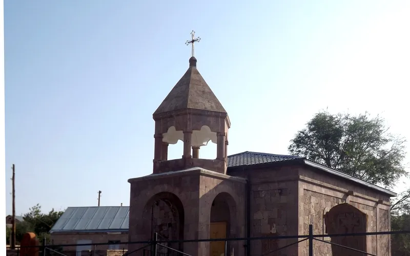
Եկեղեցի Վարդաքարում
Քարե եկեղեցի շիրակյան Վարդաքար գյուղում՝ պահպանվող որպես Հայաստանի մշակութային հուշարձան։ Հանգիստ, քարտեզից դուրս ընկած կանգառ լեռնաշխարհում։
Բացել →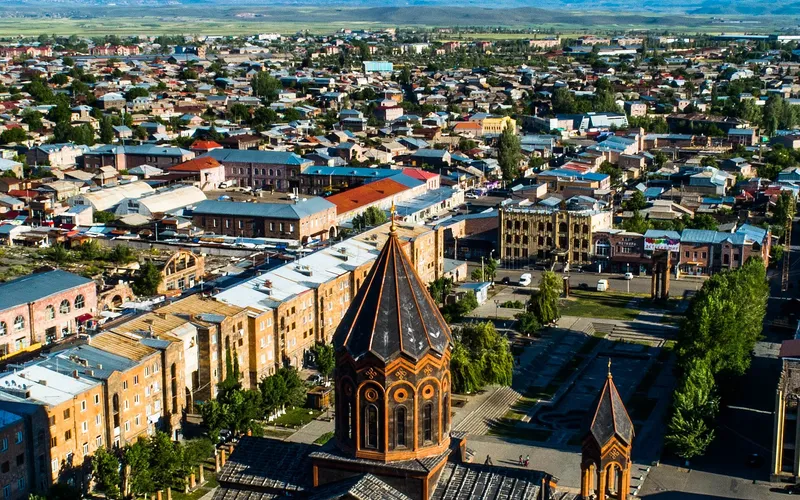
Սուրբ Ամենափրկիչ եկեղեցի, Գյումրի
Վեհաշուք 19-րդ դարի հայկական եկեղեցի Գյումրու կենտրոնական հրապարակում՝ վերականգնված 1988-ի երկրաշարժից հետո և քաղաքի խորհրդանիշ դարձած։
Բացել →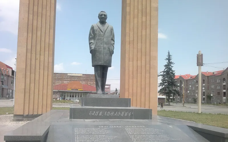
Շառլ Ազնավուրի արձան
Արձան Շիրակում՝ նվիրված Շառլ Ազնավուրին՝ ֆրանս-հայ ձայնին, որ սիրեց ողջ աշխարհը:
Բացել →Կանխատեսում Աղին-ի համար
Հիմա, այսօր, վաղը, 5/7/10/14 օրով և ամիս առաջ: