Shnogh
A village above the Debed, with Kaytson fortress and St George's church
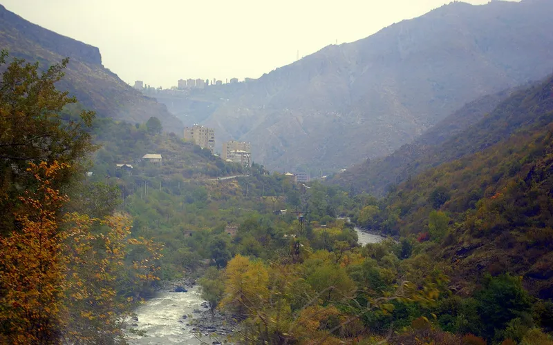
Shnogh is a large village in the north-east of Armenia's Lori Province, on the right, hilly bank of the Debed river. Its name comes from an Armenian word meaning 'abundant, fertile soil'.


What is this place
Shnogh is a large village in the north-east of Armenia's Lori Province, on the right, hilly bank of the Debed river. Its name comes from an Armenian word meaning 'abundant, fertile soil'.
Shnogh's history is bound up with Kaytson fortress, probably founded as early as the 9th century on the site of a cyclopean stronghold; in the Middle Ages the area was held by the Kyurikids, then by the Georgian king David the Builder, and in the 13th–15th centuries by the Armenian Zakarian princes. In the village itself survive the Surb Gevorg (St George) church of 1893 and the Terunakan shrine of 1222, as well as an ethnographic museum.
At the start of the 20th century, people from Shnogh founded the neighbouring village of Teghut. In 2014 a large copper-molybdenum open pit was opened near Teghut, against which environmentalists protested; in 2018 the mine closed after reports of a leak from the tailings dam into the Shnogh river. Analyses confirmed that the surroundings were polluted with heavy metals.
Despite this, Shnogh remains a living village: its people farm and keep livestock, and the Debed valley itself, with its fortresses and monasteries, is one of the most beautiful places in northern Armenia.
Places nearby
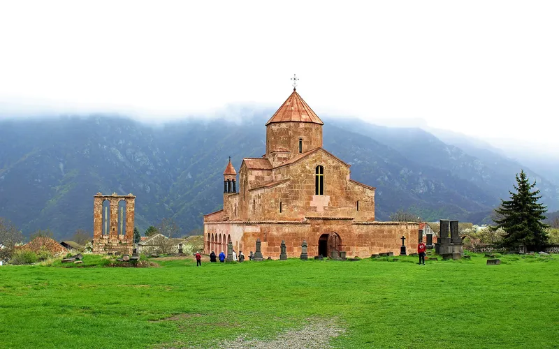
Odzun Church
One of Lori's most striking early-medieval basilicas, rising in pink-and-grey stone above the village of Odzun — a landmark of Armenian architecture and a listed monument.
Open →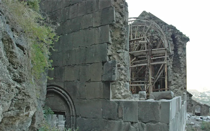
Kobayr Monastery
A medieval monastery perched on a cliff above the Debed canyon in Lori, where ruined churches still cling to the rock.
Open →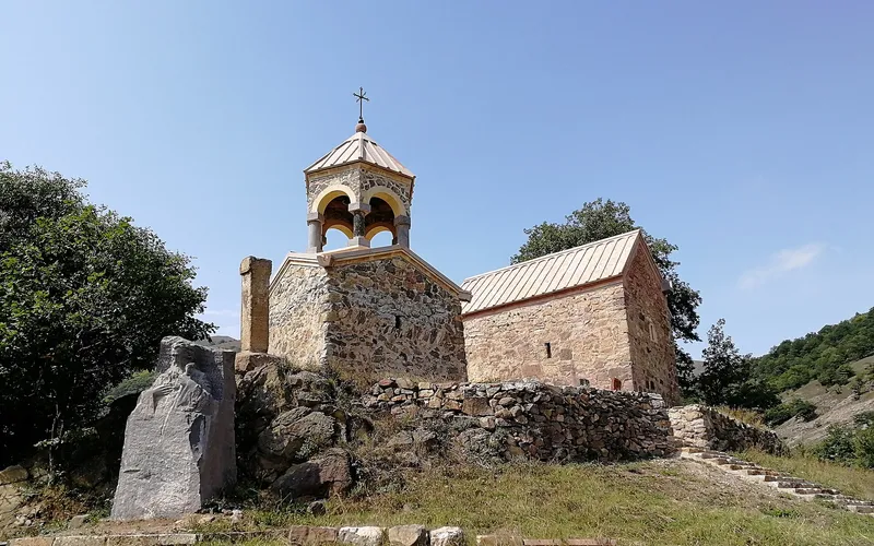
Ardvi Monastery (Surb Hovhannes)
A listed monastic complex near the village of Ardvi in Lori, where quiet courtyards open onto sweeping highland views.
Open →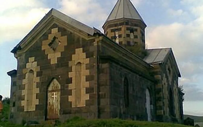
Saint Hovhannes Church, Gargar
A historic Saint John church in the village of Gargar in Lori, listed among Armenia's cultural heritage monuments.
Open →Forecast for Shnogh
Now, today, tomorrow, 5/7/10/14 days and a month ahead.
Stay in Shnogh
The Lori canyon — Alaverdi and Haghpat
A one-day trip north: Alaverdi in the Debed canyon, Sanahin and Haghpat — both on the UNESCO list. Lunch by the river.
- 2 UNESCO sites
- Debed canyon
- Copper mountains of Lori

A boutique hotel in central Vanadzor
A minimalist boutique in a renovated Soviet-era building. A handy base for trips around Lori: Haghpat, Sanahin, the Debed gorge.

BMW X5 2023
A premium all-wheel-drive crossover. It handles gravel, but with care. Mostly booked for wedding motorcades and VIP transfers.
- Leather
- Panoramic roof
- Adaptive cruise