Քարաձոր
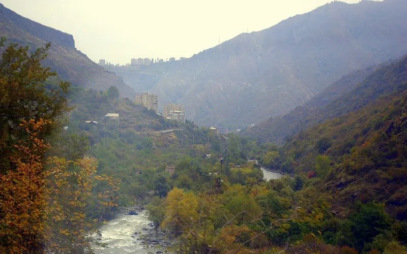
Գյուղ Քարաձոր գետի ափին՝ Սպիտակի մոտ
Քարաձորը գյուղ է Լոռու մարզի Սպիտակի համայնքում՝ Սպիտակ քաղաքից մոտ երկու կիլոմետր հյուսիս-արևելք։ Այն փռված է համանուն Քարաձոր գետի ափին՝ մոտ 1550 մետր բարձրության վրա։
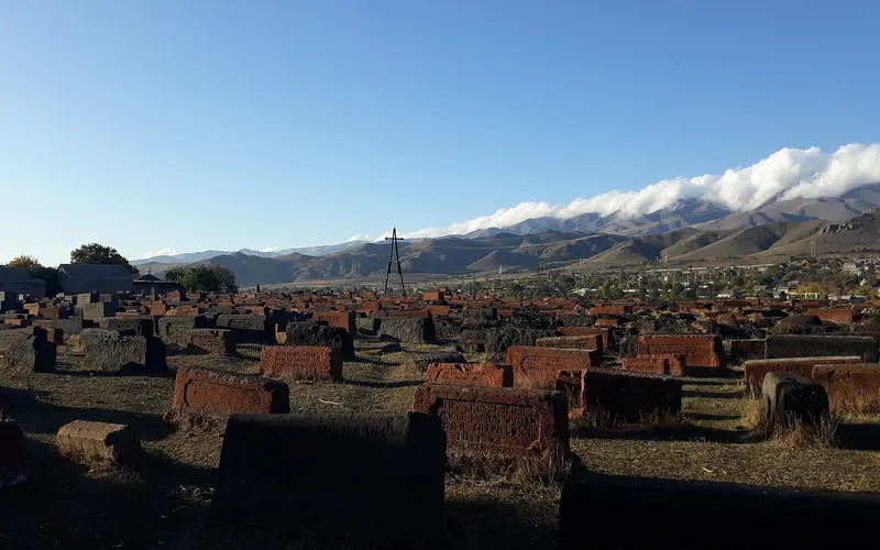
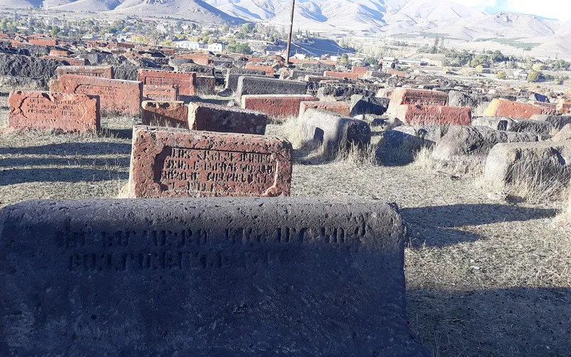
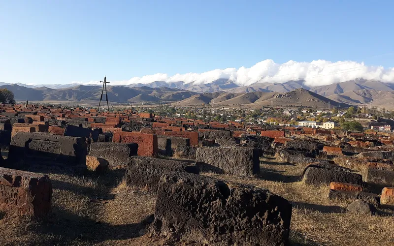
Ինչ վայր է սա
Քարաձորը գյուղ է Լոռու մարզի Սպիտակի համայնքում՝ Սպիտակ քաղաքից մոտ երկու կիլոմետր հյուսիս-արևելք։ Այն փռված է համանուն Քարաձոր գետի ափին՝ մոտ 1550 մետր բարձրության վրա։
Գյուղը հիմնադրվել է 1836 թվականին, իսկ առաջին բնակիչներն այստեղ եկել են 1865-ին. ներկայիս Քարաձոր անունը ստացել է 1946 թվականին։ Անվանումը կապված է «քարքարոտ ձորի» հետ՝ բնորոշ այս վայրերի ռելիեֆին։
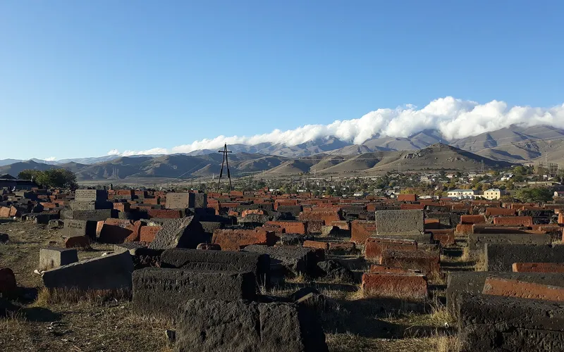
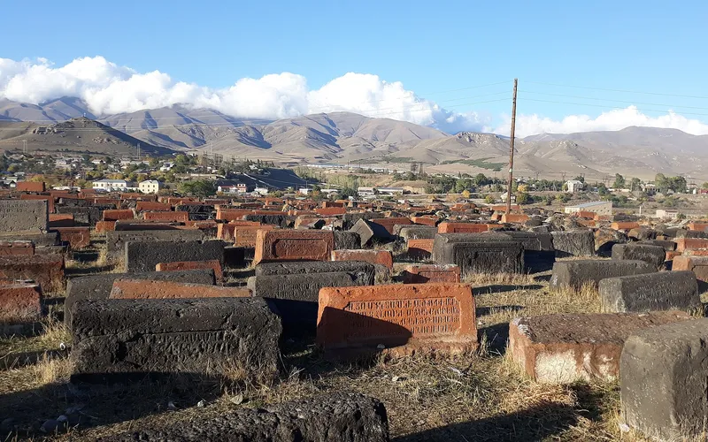
Քարաձորը ծանր տուժել է 1988 թվականի դեկտեմբերի 7-ի Սպիտակի երկրաշարժից. զոհվել է 38 մարդ, ավերվել շինությունների մոտ կեսը։ Նախկին ժամանակներից գյուղում պահպանվել է 19-րդ դարի եկեղեցին։
2011 թվականի մարդահամարի տվյալներով Քարաձորում բնակվում էր 331 մարդ։ Ոռոգման ջրի սղության պատճառով երկրագործությունը դժվար է, սակայն այստեղ մշակում են ցորեն, գարի, առվույտ, կարտոֆիլ ու կաղամբ և պահում կաթնատու անասուններ։
Վայրեր մոտակայքում
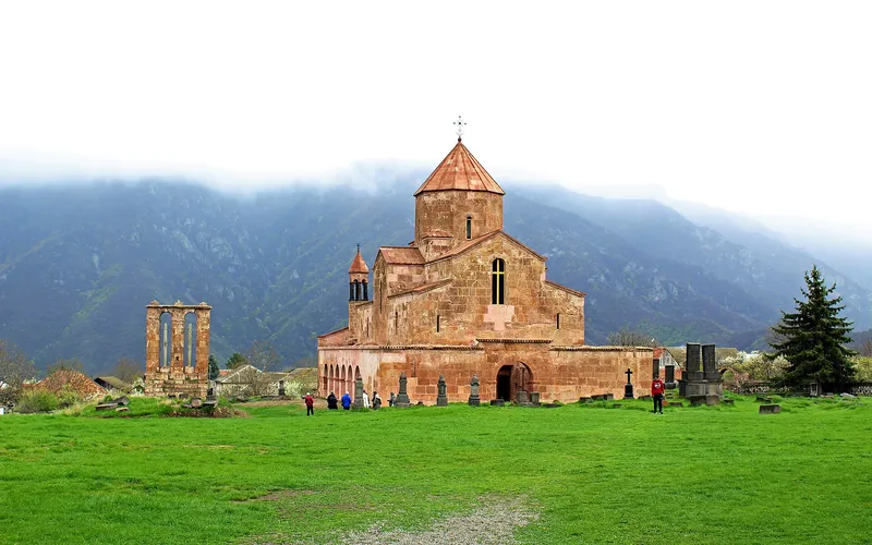
Օձունի եկեղեցի
Լոռու ամենաարտահայտիչ վաղ միջնադարյան բազիլիկներից մեկը՝ վարդագույն-մոխրագույն քարից բարձրացած Օձուն գյուղի վերևում։ Հայ ճարտարապետության և մշակութային ժառանգության հուշարձան։
Բացել →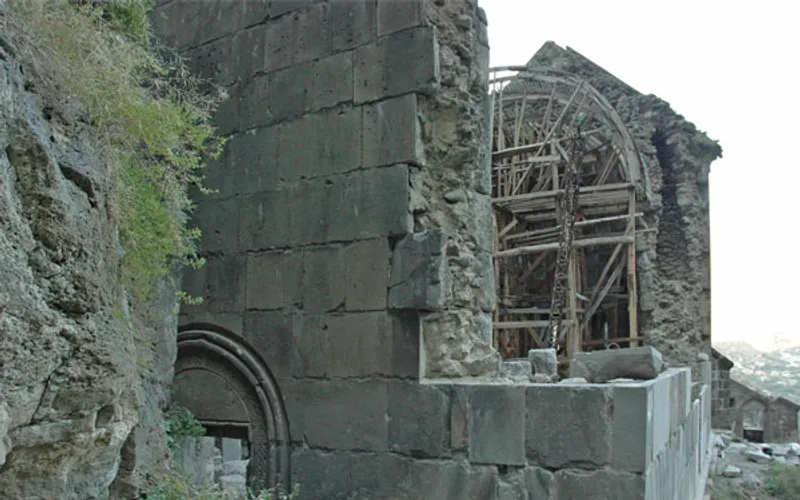
Քոբայրի վանք
Միջնադարյան վանք Լոռու Դեբեդի կիրճի վերևի ժայռին, որտեղ եկեղեցիների ավերակները մինչ օրս կառչած են քարին։
Բացել →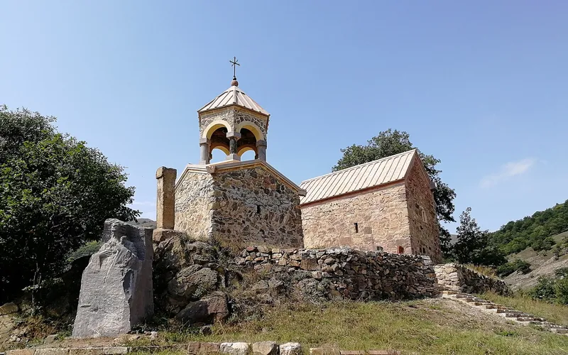
Արդվիի Սուրբ Հովհաննես վանք
Պահպանվող վանական համալիր Լոռու Արդվի գյուղի մոտ, որտեղ հանդարտ բակերը բացվում են լեռնաշխարհի անծայր տեսարանների վրա։
Բացել →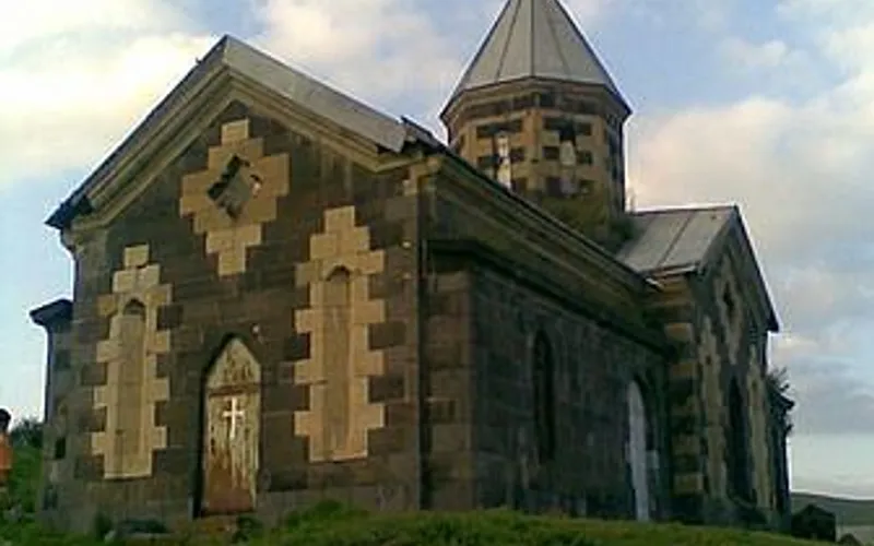
Գարգառի Սբ. Հովհաննես եկեղեցի
Սբ. Հովհաննեսին նվիրված պատմական եկեղեցի Լոռու Գարգառ գյուղում՝ ընդգրկված Հայաստանի մշակութային ժառանգության հուշարձանների ցանկում։
Բացել →Կանխատեսում Քարաձոր-ի համար
Հիմա, այսօր, վաղը, 5/7/10/14 օրով և ամիս առաջ: