Կաթնաղբյուր
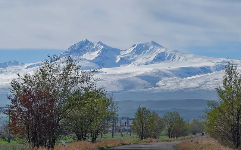
«Կաթնաղբյուր»՝ գյուղ Թալինի սարահարթին, Արագածոտնում
Կաթնաղբյուրը (մինչև 1950 թվականը՝ Մեղրիբան) գյուղ է Հայաստանի Արագածոտնի մարզում, Թալինի համայնքում, Թալին քաղաքից շուրջ երեք կիլոմետր արևելք։ Այն գտնվում է մոտ 1720 մետր բարձրության վրա՝ Արագած լեռան հարավ-արևմտյան լանջերի բաց հրաբխային սարահարթին, Երևան — Գյումրի ճանապարհի մերձակայքում, Իրինդ, Դավթաշեն, Շղարշիկ և Եղնիկ գյուղերի հարևանությամբ։
Ինչ վայր է սա
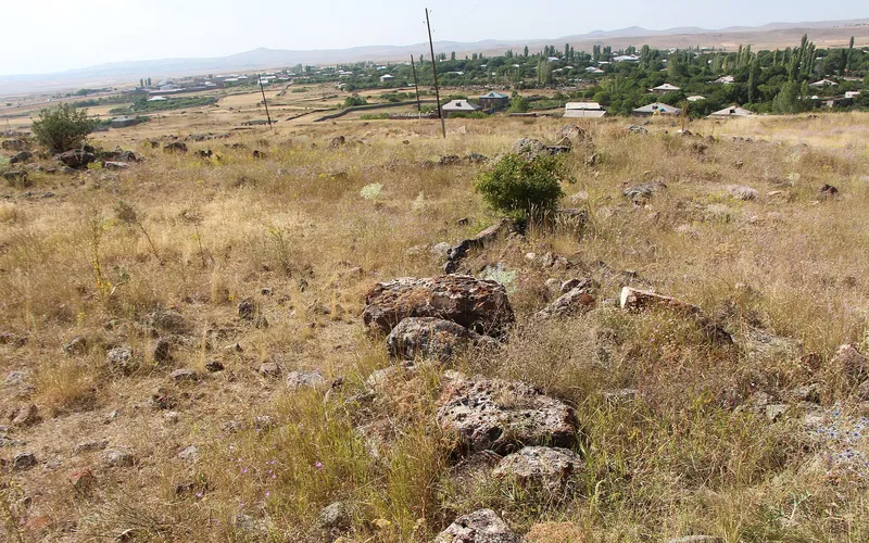
Կաթնաղբյուրը (մինչև 1950 թվականը՝ Մեղրիբան) գյուղ է Հայաստանի Արագածոտնի մարզում, Թալինի համայնքում, Թալին քաղաքից շուրջ երեք կիլոմետր արևելք։ Այն գտնվում է մոտ 1720 մետր բարձրության վրա՝ Արագած լեռան հարավ-արևմտյան լանջերի բաց հրաբխային սարահարթին, Երևան — Գյումրի ճանապարհի մերձակայքում, Իրինդ, Դավթաշեն, Շղարշիկ և Եղնիկ գյուղերի հարևանությամբ։
Գյուղի անունը պարզ ու բանաստեղծական է. «Կաթնաղբյուր» նշանակում է կաթի աղբյուր՝ ակնարկելով այն աղբյուրին, որից բնակավայրն ստացել է իր անունը։ Մինչև 1950 թվականը գյուղը կոչվում էր Մեղրիբան (հայտնի է նաև Մեհրիբանլի ձևով), և այս անվամբ այն հիշատակվում է Էջմիածնի գավառի հին մարդահամարներում։
Կաթնաղբյուրի պատմությունն արտացոլում է այս երկրամասի բարդ ազգային ճակատագիրը։ XIX դարում և XX դարի սկզբին Մեղրիբանը մահմեդական բնակավայր էր. 1873 թվականի տվյալներով այստեղ կար մոտ 45 ծուխ և շուրջ 410 բնակիչ, իսկ 1912 թվականին բնակչությունը հասել էր մոտ 493-ի. գյուղում գործում էր մզկիթ։ XX դարի կեսերին բնակչության կազմը փոխվեց, գյուղը վերանվանվեց Կաթնաղբյուր և բնակեցվեց հայերով՝ ինչպես Թալինի սարահարթի հարևան շատ բնակավայրեր։
Չնայած համեստ չափերին՝ Կաթնաղբյուրը պահպանում է խոր քրիստոնեական հնության հետք. գյուղում պահպանվել են V դարի եկեղեցու ավերակները՝ հայ ճարտարապետության ամենավաղ շրջաններից մեկի վկայությունը։ Այս վաղմիջնադարյան տաճարի մնացորդները հիշեցնում են, որ Թալինի շրջակա սարահարթը բնակեցված ու մշակված է եղել դեռևս հին ժամանակներից։
Աշխարհագրորեն գյուղը բնորոշ է Արագածոտնի այս հատվածին՝ բարձրլեռնային սարահարթ, չոր ու քամոտ կլիմա, քարքարոտ դաշտեր և արոտավայրեր։ Մոտ 1720 մետր բարձրության վրա ամառը կարճ է ու զով, իսկ ձմեռը՝ ձյունառատ և երկար։ Առօրյա կյանքի հիմքը մնում են երկրագործությունն ու անասնապահությունը՝ հացահատիկի և կերային մշակաբույսերի մշակումը, անասնապահությունը, ինչը բնորոշ է Թալինի համայնքի գյուղերին։
Բնակչության շարժընթացը ցույց է տալիս լեռնային գյուղերին հատուկ պատկեր. XIX դարի սկզբի մի քանի տասնյակ բնակչից մինչև 1979 թվականին մոտ 1374 մարդ գագաթնակետ և 2011 թվականի մարդահամարով շուրջ 1274 բնակիչ։ Սա հանգիստ, բնակեցված գյուղ է՝ առանց աղմկոտ զբոսաշրջային համբավի, որն ապրում է չափված գյուղական կենցաղով։
Ճանապարհորդի համար Կաթնաղբյուրը հետաքրքիր է առաջին հերթին իր դիրքով. այստեղից ձեռքի հասողության վրա է Թալին քաղաքն իր հանրահայտ միջնադարյան տաճարով և խաչքարերի գերեզմանատնով, հարևան Իրինդի վաղմիջնադարյան եկեղեցին և Արագած լեռան ընդարձակ տեսարանները։ Իսկ գյուղն ինքը՝ V դարի տաճարի ավերակներով, դառնում է հանգիստ, ոչ ակնառու կանգառ նրանց համար, ովքեր ուսումնասիրում են Թալինի սարահարթի հնությունները։
Կաթնաղբյուրը ցուցադրական փայլ չունեցող, բայց ժամանակի իրական խորություն ունեցող վայր է. «կաթի աղբյուր», որի անունն ու վաղ տաճարի ավերակները այսօրվա գյուղական կյանքը կապում են Արագածոտնի դարավոր պատմության հետ։
Վայրեր մոտակայքում
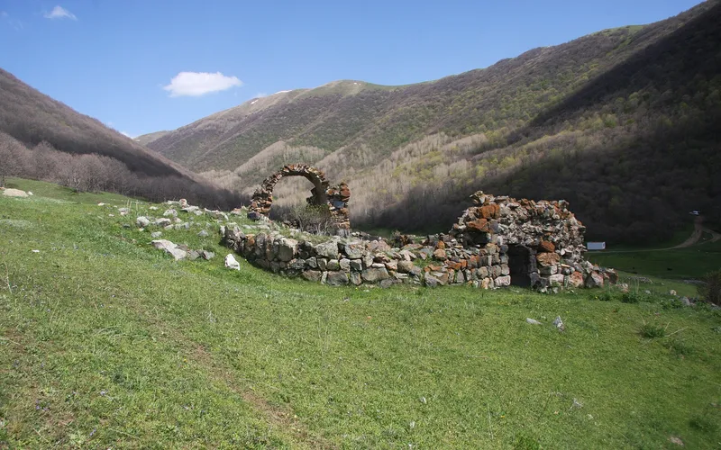
Կարմիր վանք (Մխերի վանք)
Հանդարտ վանական համալիր Արագածոտնի լեռնաշխարհում՝ հայտնի երկու անունով և խոր անդորրով։
Բացել →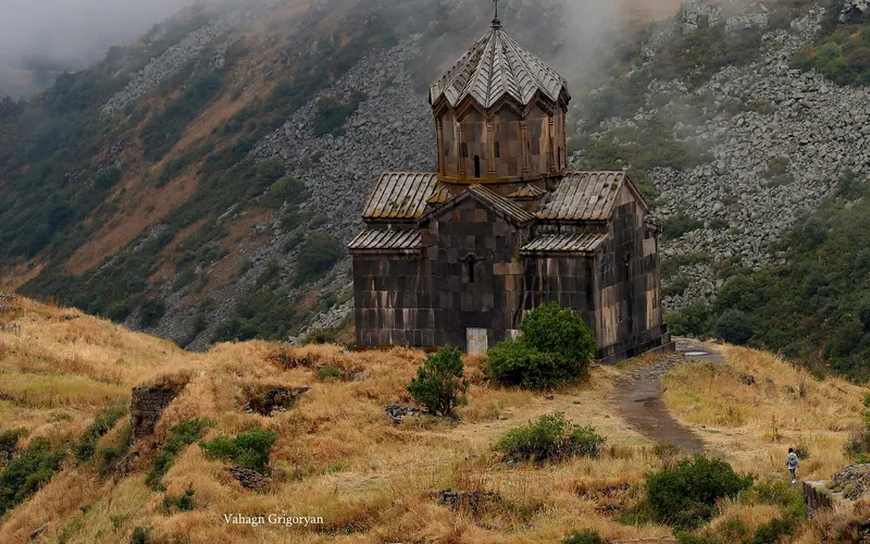
Վահրամաշեն եկեղեցի
Միջնադարյան եկեղեցի Արագած լեռան լանջերին՝ ժամանակին հզոր Ամբերդ ամրոցի ավերակների կողքին։
Բացել →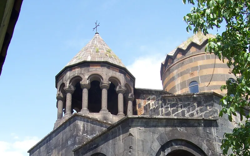
Մուղնու Սուրբ Գևորգ վանք
Մուղնի գյուղի նրբագեղ վանքը՝ հայտնի իր գծավոր որմնադրությամբ և հարուստ զարդարված ճակատով։
Բացել →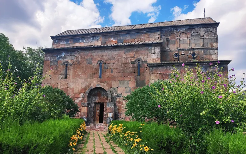
Սուրբ Հովհաննես եկեղեցի (Բյուրական)
Պատմական եկեղեցի Բյուրական գյուղում՝ Արագած լեռան լանջերին, ընդգրկված Հայաստանի մշակութային ժառանգության մեջ։
Բացել →Կանխատեսում Կաթնաղբյուր-ի համար
Հիմա, այսօր, վաղը, 5/7/10/14 օրով և ամիս առաջ: