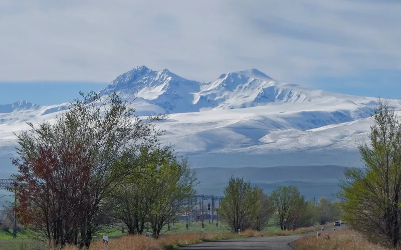
Արագած
Գյուղ Արագած լեռան ստորոտին, Ապարանի գոգահովտում, Գեղարոտ գետի ափին
Արագածը (մինչև 1948 թվականը՝ Գազանֆար) գյուղ է Հայաստանի Արագածոտնի մարզի Ապարանի համայնքում։ Այն փռված է մոտ 1980 մետր բարձրության վրա՝ Ապարանի գոգահովտում, Գեղարոտ գետի ափին, Երևան — Ապարան մայրուղուց արևմուտք, համանուն հրաբխային զանգվածի արևելյան ստորոտին, որից էլ գյուղն ստացել է իր այժմյան անունը։
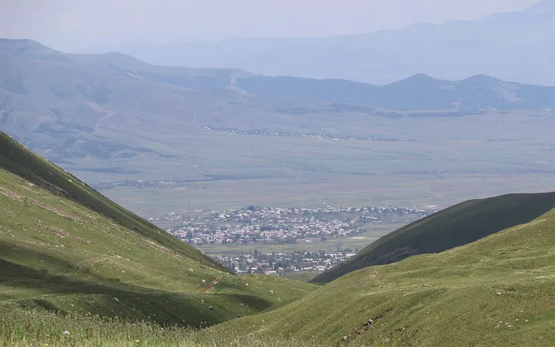
Ինչ վայր է սա
Արագածը (մինչև 1948 թվականը՝ Գազանֆար) գյուղ է Հայաստանի Արագածոտնի մարզի Ապարանի համայնքում։ Այն փռված է մոտ 1980 մետր բարձրության վրա՝ Ապարանի գոգահովտում, Գեղարոտ գետի ափին, Երևան — Ապարան մայրուղուց արևմուտք, համանուն հրաբխային զանգվածի արևելյան ստորոտին, որից էլ գյուղն ստացել է իր այժմյան անունը։
Գյուղը գտնվում է Ապարանից մոտ 14 կիլոմետր հարավ և Աշտարակից 25 կիլոմետր հյուսիս՝ դեպի Գեղարոտի հովիտը իջնող մեղմ լանջերին։ Արևմուտքից Արագածի վրա բարձրանում է հենց Արագած լեռան զանգվածը՝ ներկայիս Հայաստանի ամենաբարձր գագաթը, որի չորս կատարներն ու ձյունածածկ դաշտերը երևում են այստեղից գրեթե ողջ տարին։ Հյուսիսից գյուղին հարում է Ծաղկաշենը, արևելքից՝ Շենավանը, հարավից՝ Վարդենուտը, այնպես որ Արագածը Ապարանի գոգահովտի լեռնային գյուղերի խիտ շղթայի մասն է կազմում։
Գրեթե երկու հազար մետր բարձրությունը պայմանավորում է տեղի ողջ կենցաղը։ Կլիման խստաշունչ է՝ երկար ձյունառատ ձմեռով ու կարճ զով ամառով. շուրջբոլորը փռված են ալպիական մարգագետիններ ու քարքարոտ արոտներ, իսկ ավանդական տները շարված են Արագածի լանջերին առատ տեղական մուգ քարից։ Այսպիսի լեռնային դիրքը պատմականորեն Արագածը դարձրել է անասնապահների ու հողագործների վայր՝ ընտելացած բարձրլեռնային պայմաններին։
Իր այժմյան անունը Արագածը ստացել է 1948 թվականի սեպտեմբերի 10-ին՝ փոխարինելով նախկին Գազանֆար անվանումը։ Բուն բնակավայրը, սակայն, շատ ավելի հին է. շրջակայքում պահպանվել են ուրարտական պահակակետի ու բնակատեղիի ավերակներ, որոնք վկայում են, որ այս լանջերը բնակեցված են եղել դեռ Ուրարտու հնագույն թագավորության ժամանակներից։ Միջնադարում Արագածը հայտնի էր որպես տեղական գրչության ու գրագիտության կենտրոններից մեկը։
Գյուղի գլխավոր հուշարձանը Սուրբ Աստվածածին եկեղեցին է՝ շարված սև քարից XIX դարի վերջին։ Համեստ, բայց արտահայտիչ այս տաճարը մնում է համայնքի հոգևոր կենտրոնը և ակնառու ցույց է տալիս քարաշինության այն ավանդույթը, որով աչքի է ընկնում ողջ շրջակայքը։ Ուրարտական ավերակների հետ միասին այն գյուղի առօրյան կապում է այս վայրերի խոր պատմական հիշողության հետ։
Արագածի տնտեսական կյանքը, ինչպես գոգահովտի հարևան գյուղերում, հիմնված է հողի ու անասնապահության վրա. բարձրլեռնային արոտները կերակրում են հոտերը, իսկ վարելահողերում աճեցնում են ցրտադիմացկուն մշակաբույսեր։ 2011 թվականի մարդահամարի տվյալներով՝ բնակչությունը կազմում էր մոտ 2773 մարդ. սա կենսունակ, բնակեցված հայկական գյուղ է, ոչ թե ամայացած ավան։ Նրա ծնունդներից են ժողովրդական գուսան Աշխույժը և ժողովրդական զրույցների պատմող Նիկողոս Պետրոսյանը, որ հայտնի էր Պետոյ Նիկո անունով։
Ճանապարհորդի համար Արագածը նախ և առաջ Արագած լեռան արևելյան լանջերի դարպասն է ու հանգիստ կանգառ Երևանի, Աշտարակի և Ապարանի միջև ընկած ճանապարհին։ Այստեղից բացվում են զանգվածի գագաթների ու Գեղարոտի հովտի տեսարանները, իսկ քարե տներով ու հին եկեղեցով հանդարտ լեռնային գյուղի մթնոլորտը թույլ է տալիս զգալ Ապարանի գոգահովտի անշտապ ռիթմը։
Արագածը չի ձգտում տպավորել մեծությամբ. նրա ուժը հարազատության մեջ է՝ քար, բարձրություն, գլխավերևում կանգնած լեռ և մինչև Ուրարտու հասնող երկար հիշողություն։
Վայրեր մոտակայքում
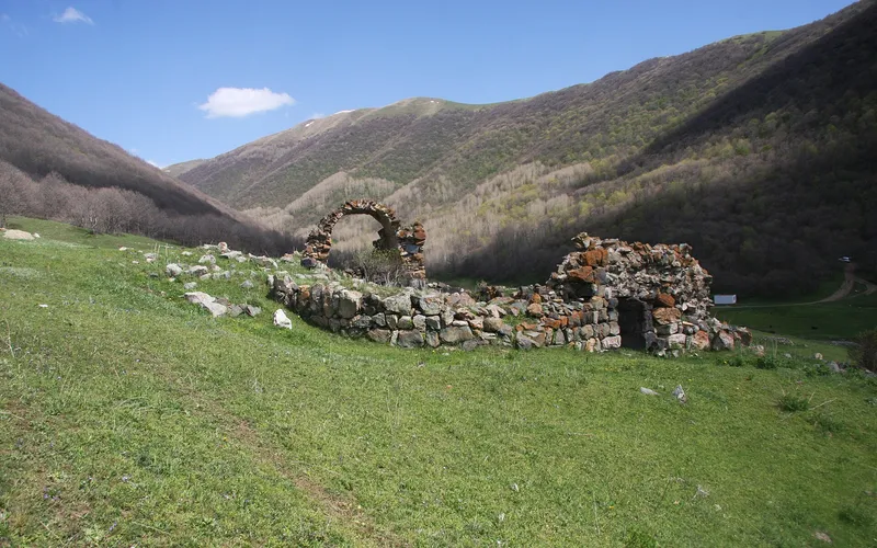
Կարմիր վանք (Մխերի վանք)
Հանդարտ վանական համալիր Արագածոտնի լեռնաշխարհում՝ հայտնի երկու անունով և խոր անդորրով։
Բացել →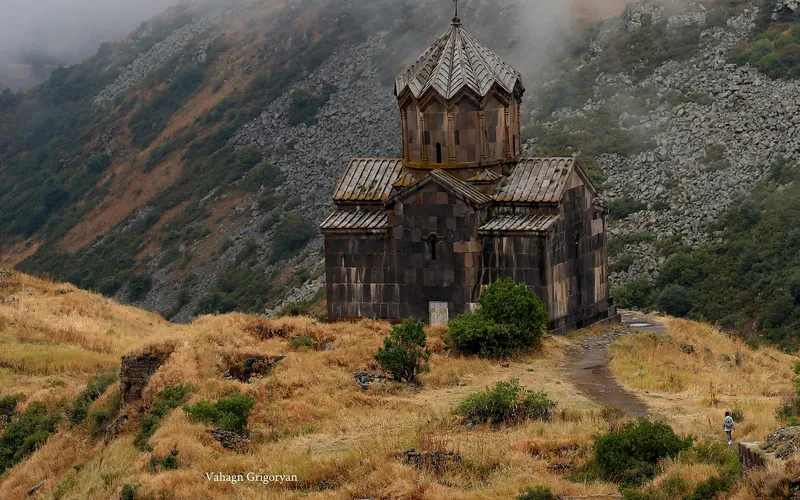
Վահրամաշեն եկեղեցի
Միջնադարյան եկեղեցի Արագած լեռան լանջերին՝ ժամանակին հզոր Ամբերդ ամրոցի ավերակների կողքին։
Բացել →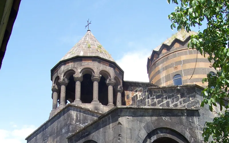
Մուղնու Սուրբ Գևորգ վանք
Մուղնի գյուղի նրբագեղ վանքը՝ հայտնի իր գծավոր որմնադրությամբ և հարուստ զարդարված ճակատով։
Բացել →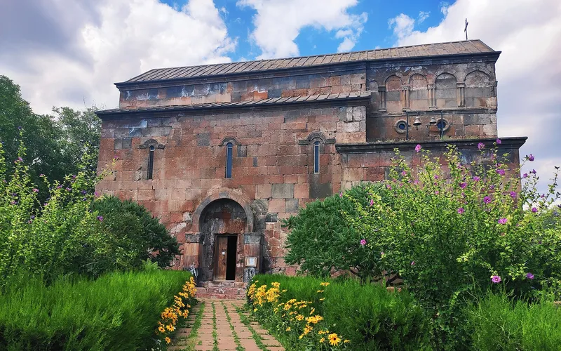
Սուրբ Հովհաննես եկեղեցի (Բյուրական)
Պատմական եկեղեցի Բյուրական գյուղում՝ Արագած լեռան լանջերին, ընդգրկված Հայաստանի մշակութային ժառանգության մեջ։
Բացել →Կանխատեսում Արագած-ի համար
Հիմա, այսօր, վաղը, 5/7/10/14 օրով և ամիս առաջ: